at Glen Affric, Loch Mullardoch and Loch Monar
 (german
version)
(german
version)A report with pictures from Horst Rudolph
(www.horst-rudolph.de)

 (german
version)
(german
version)
|
|
|
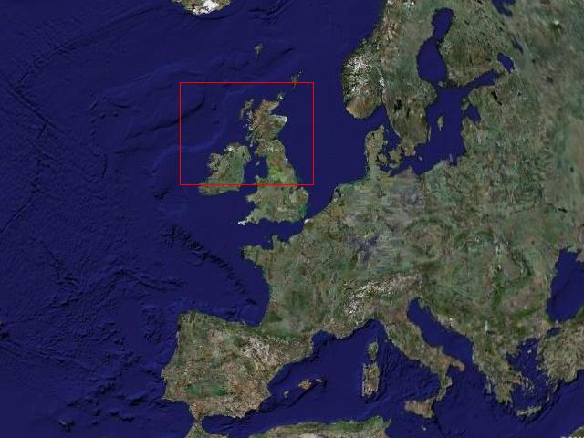 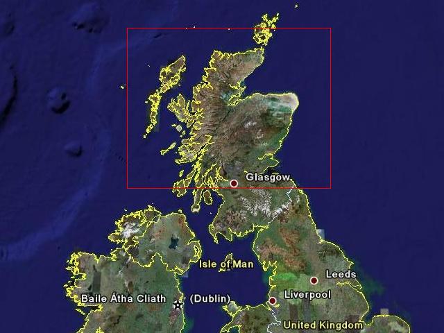 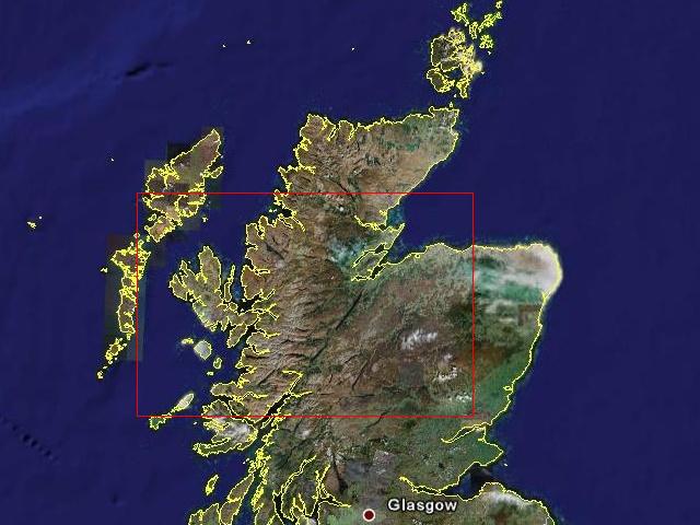 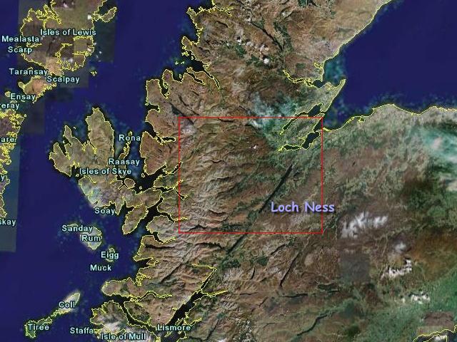 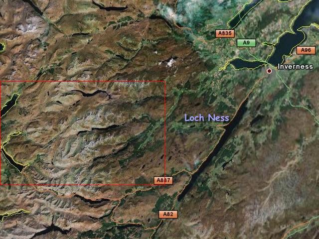 |
At first some overviews. Clearly, Scotland lies in the north of Greatbritain. A mouseclick on the pictures shows them larger. As you can see, the maps zoom step by step. And focus on the area, where I walked. The area lies nearly 30 km northwest of Loch Ness. |
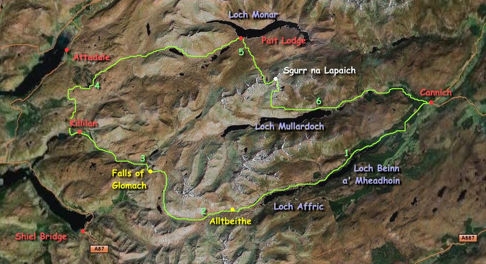 |
This is adetailed map of my
trekkingroute (klick on it, then it will be enlarged). In the centre of the tour you can find the seas of Loch Monar, Loch Mullardoch and Loch Affric. The numbers 1-6 mark the places, where I built up my tent. Some special places are marked red. |
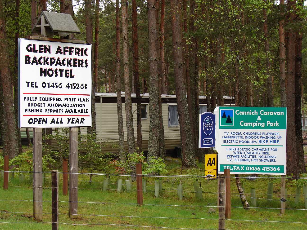  |
At the Glen Affric
Backpackers
Hostel in Cannich I have left my rental car for 1 Pound per day. From here I followed the river Affric upstream. Surely, you can leave your car at one of the parking places at Loch Affric, but it is not very sure there. |
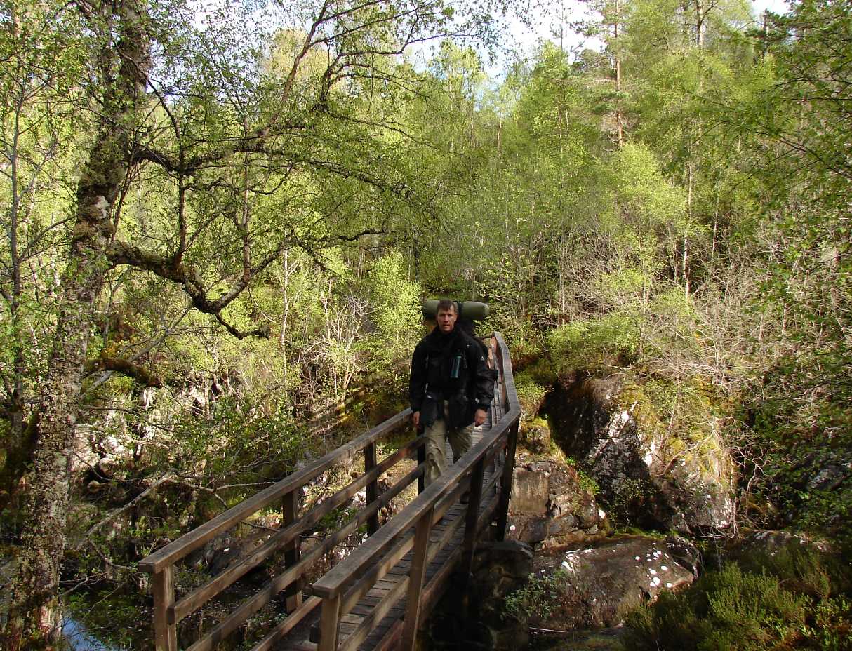   |
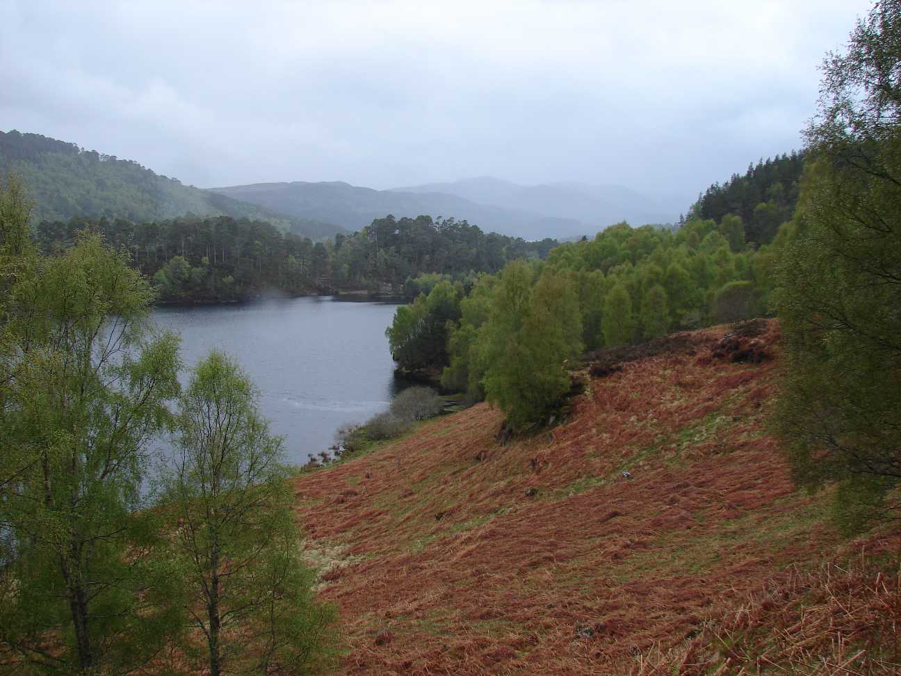
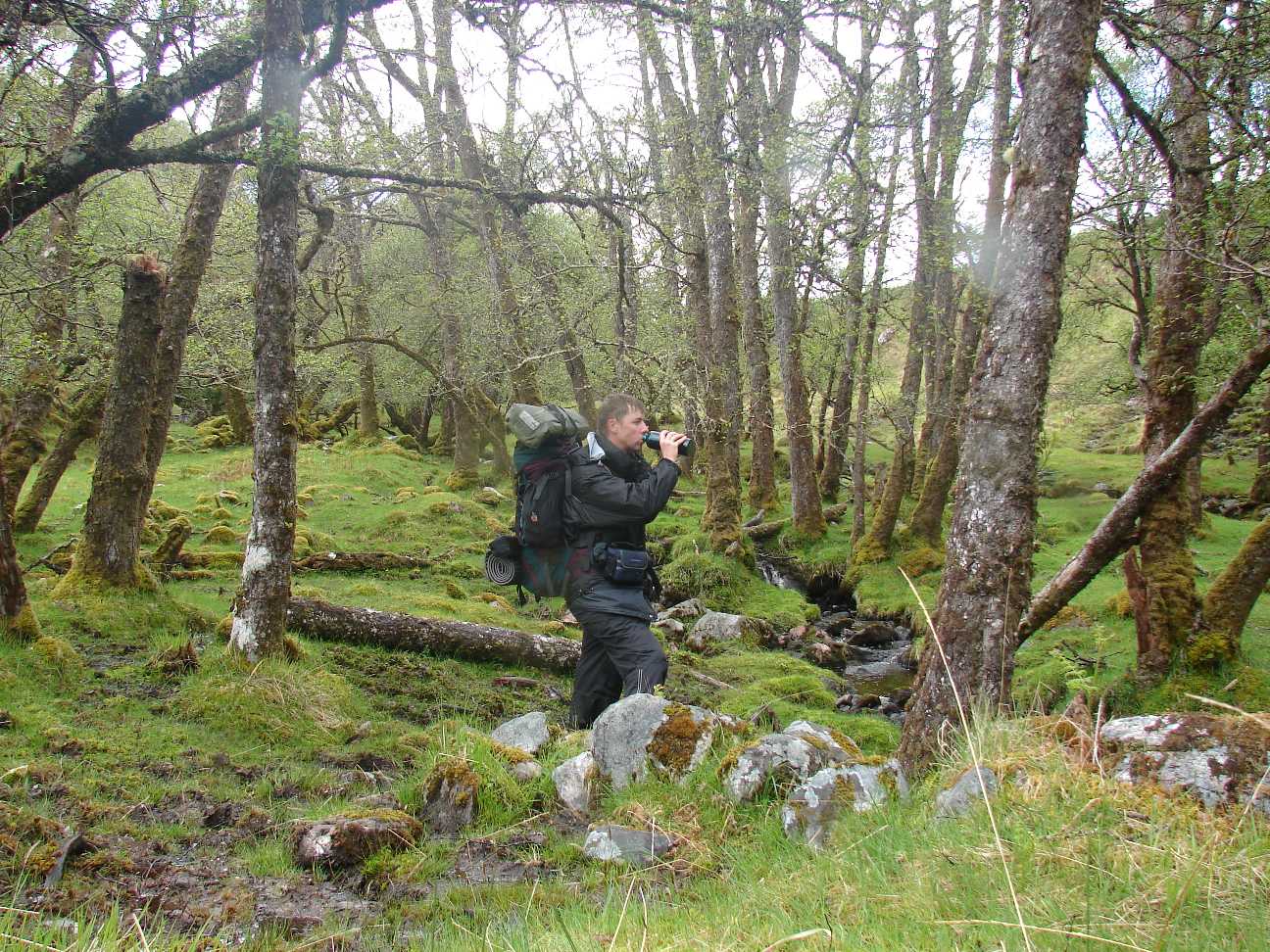
The first stage to the Loch
Beinn a' Mheadhoin took 4 hours of walking. The trip is very easy: you walk on a roadway slightly upwards. En-route you pass many small Waterfalls, as the Dogfalls, which find their way through pine and birch woods. |
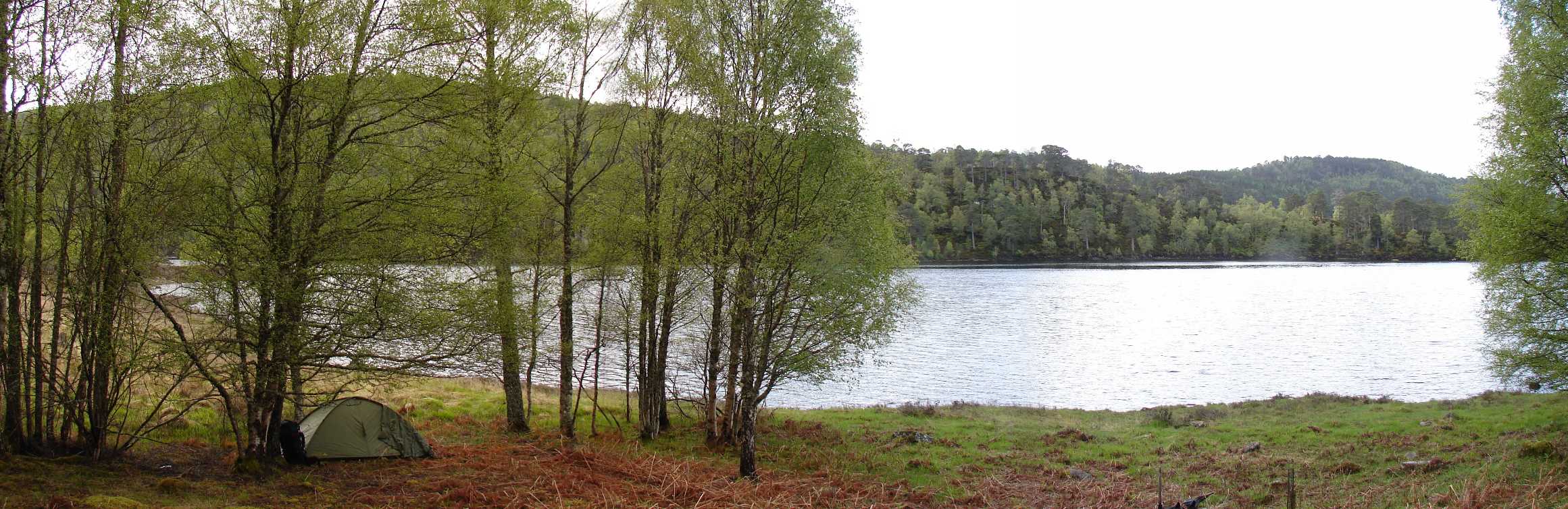 |
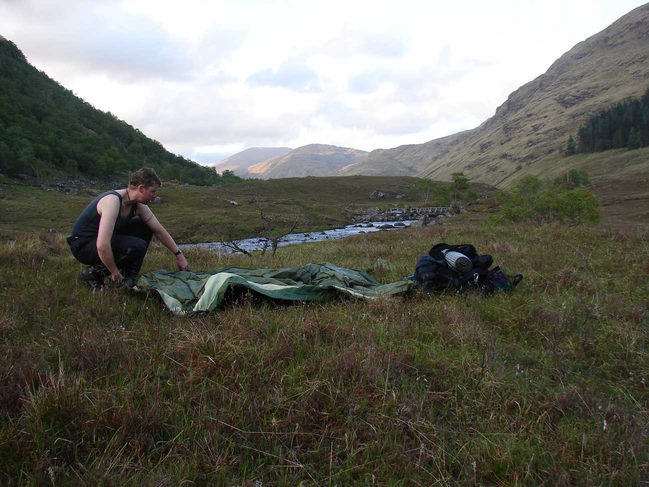
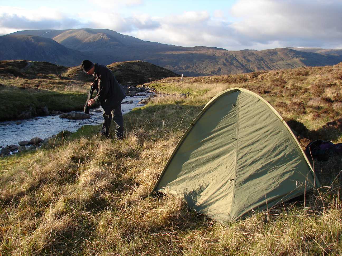
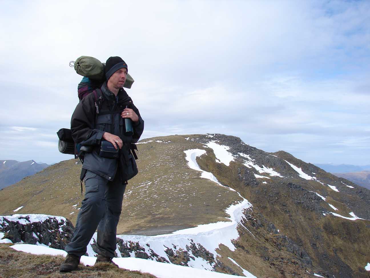
My first night in the tent at
Loch
Beinn a' Mheadhoin. Panoramapicture, 3 single photographs fittet together. |
 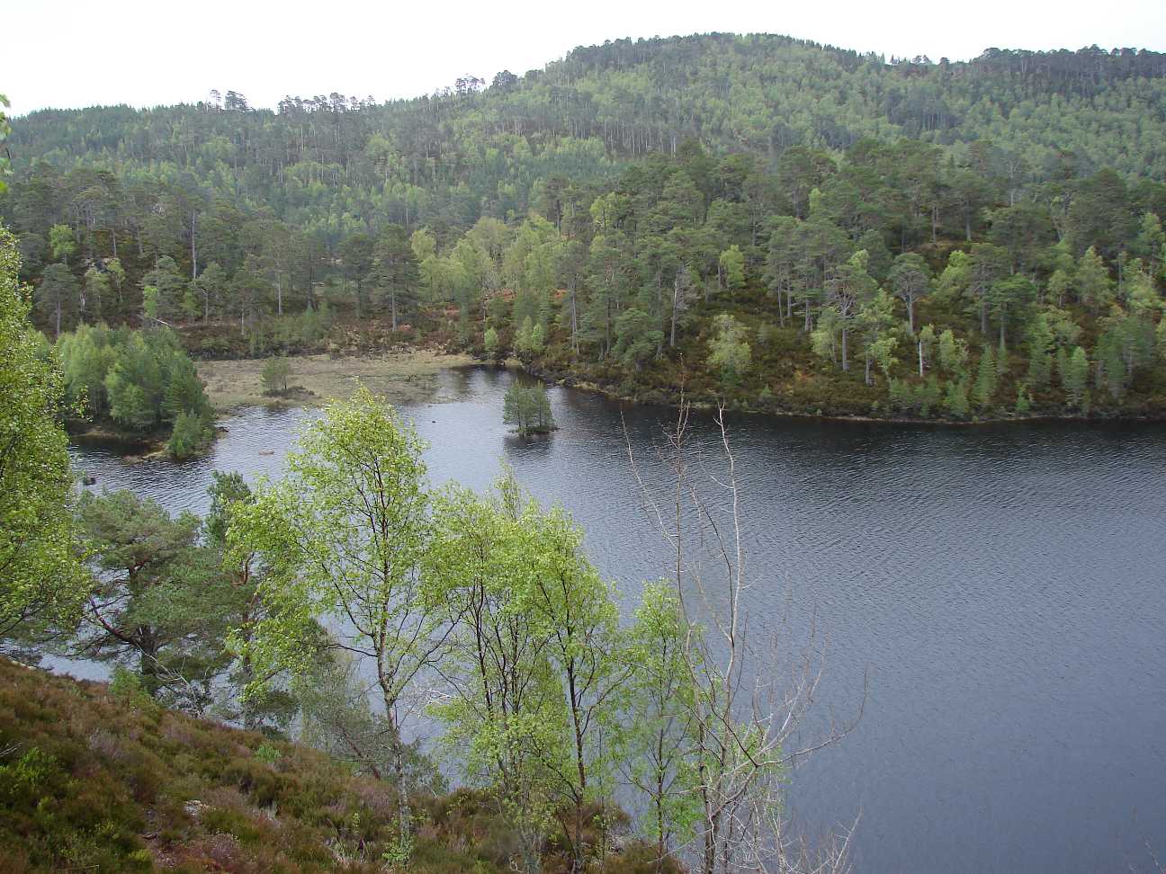  |
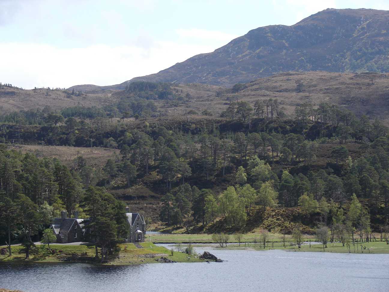
The same sea. Wooded shore
alternates with muddy meadows.
The landscape is very impressive. That is why you find many tourists up
here. They can reach this area with their cars. |
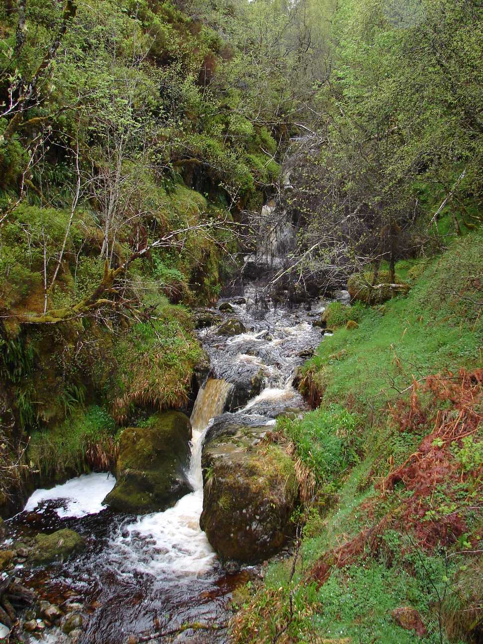 |
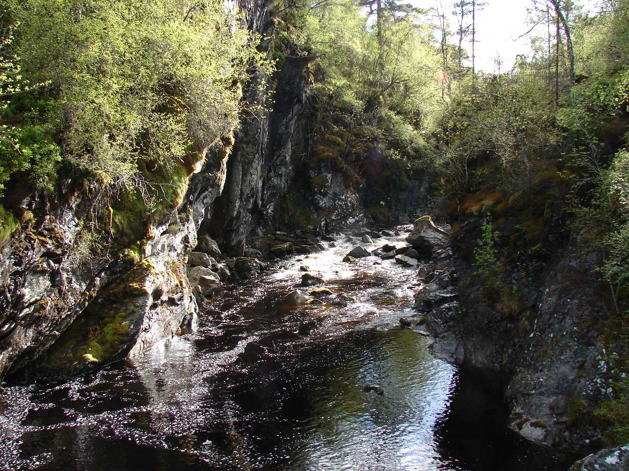
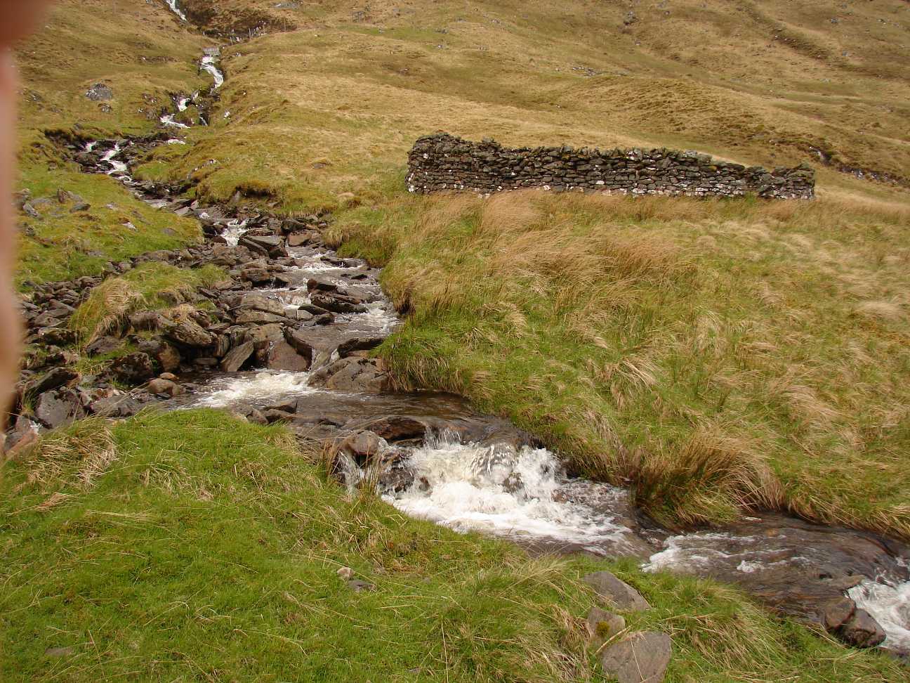
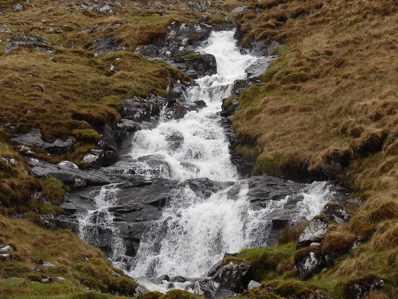
A Waterfall, near Loch
Affric. During the whole walk I saw more than 100 of such small waterfalls. If it rains cats and dogs they are swelling, so it can be difficult to cross them. |
 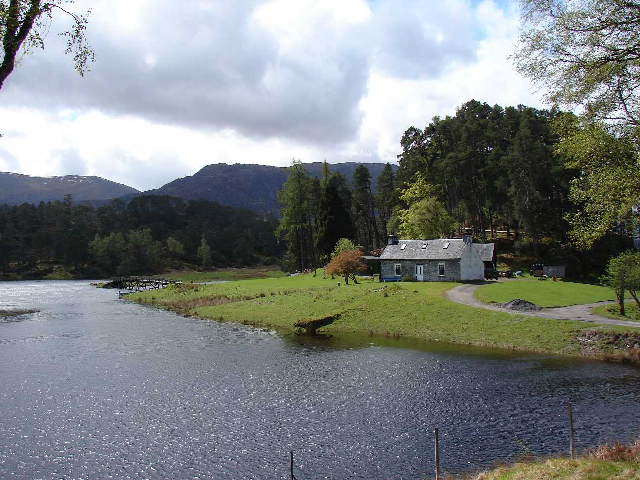  |
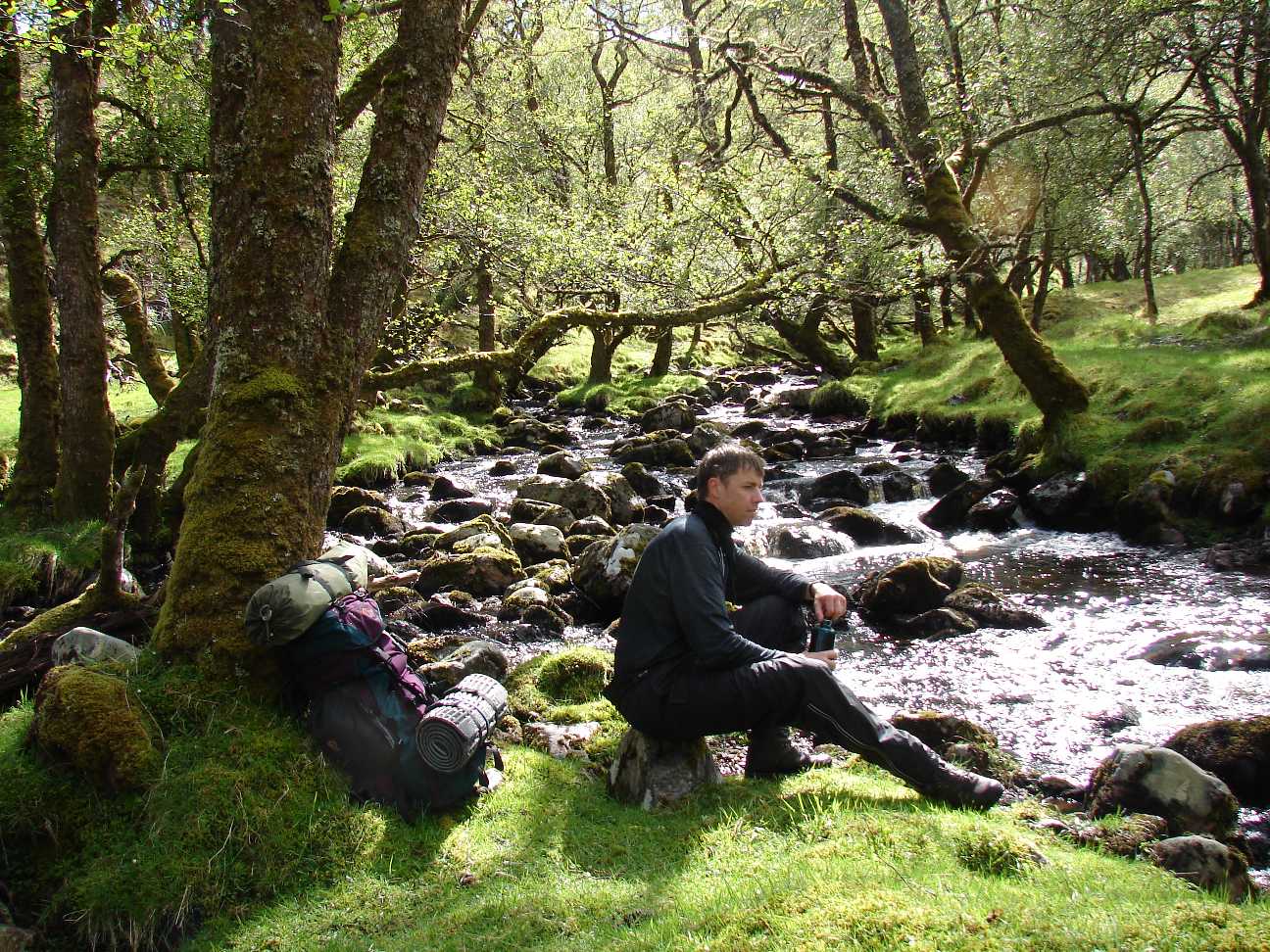
Loch Affric. The Logde on the right photo is challenging equipped and can be hired for some bigger amount of money. |
  |
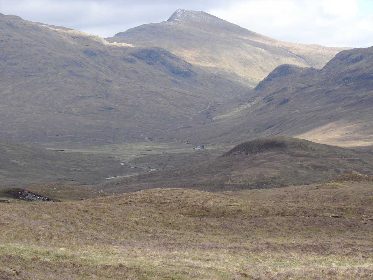
Behind Loch Affric the way
ascends slightly. The timbered zone is passed soon and you reach areas
where pasture, moss and stones cover the ground. |
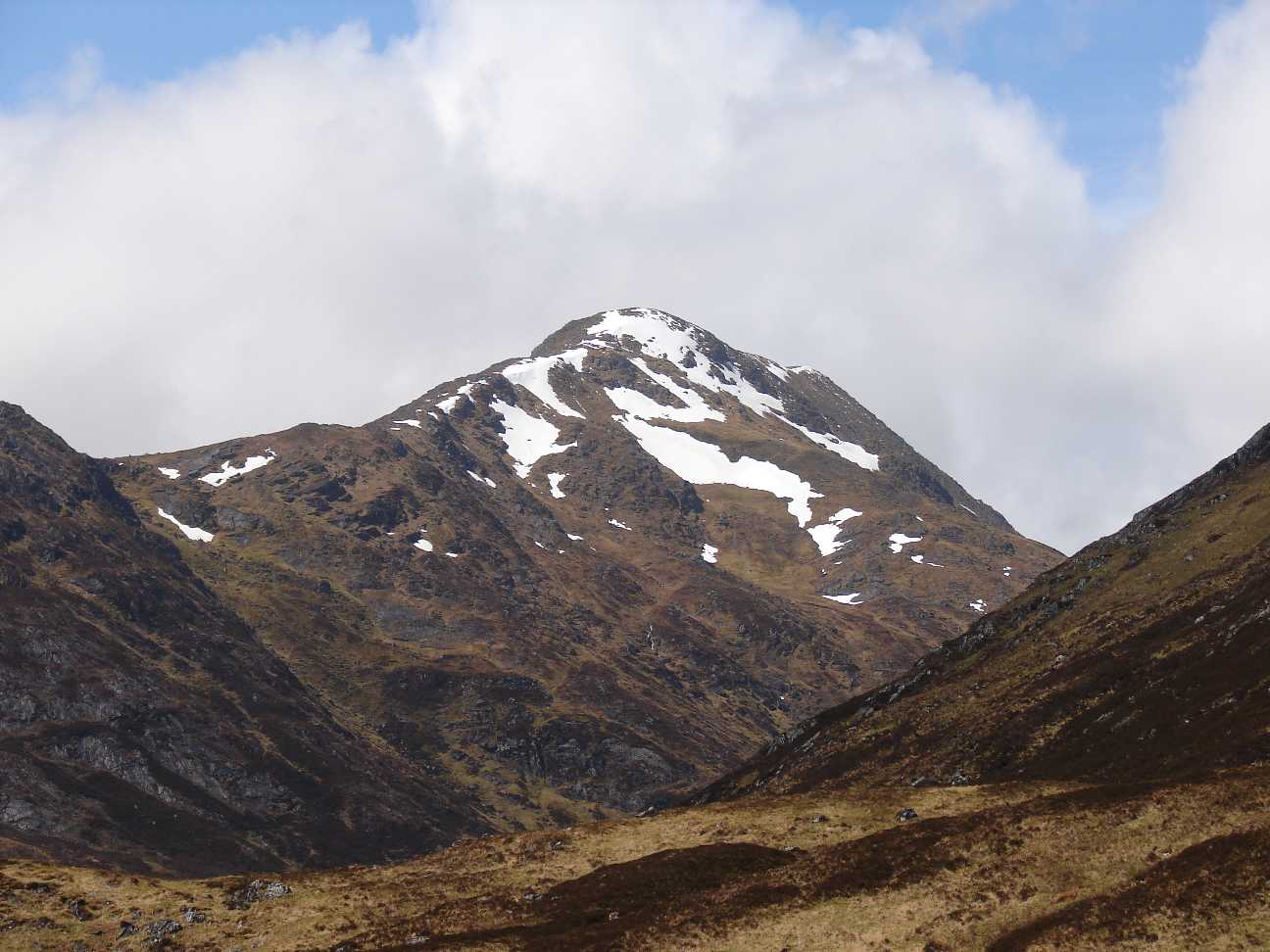  |
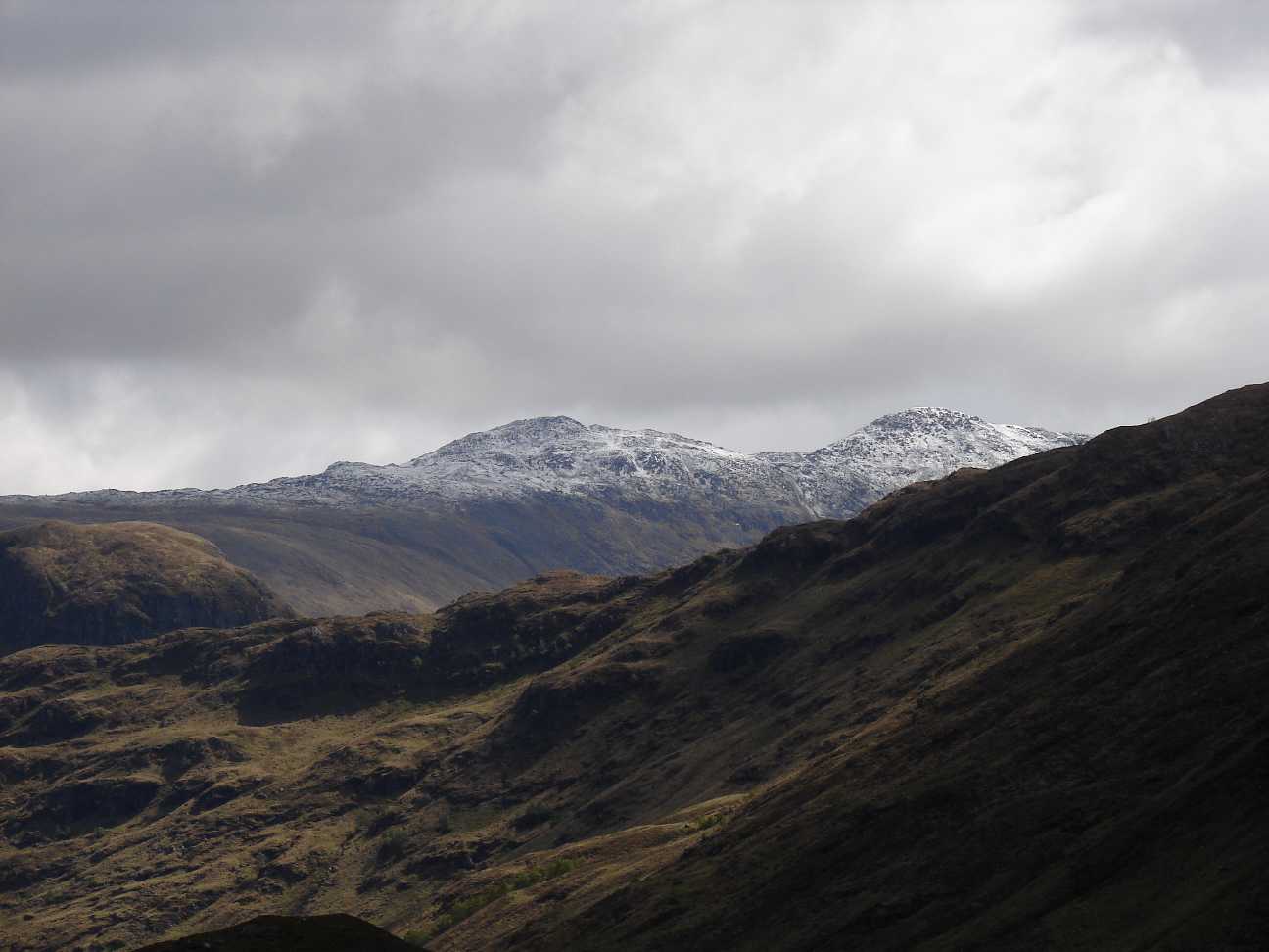
Whilst there are about
10° in the valleys, I found Snow on some hill. The 2 photos on the
left hand side were taken between Loch Affric and the youthhosstel
Alltbeithe, which was visited by many people on that day. |
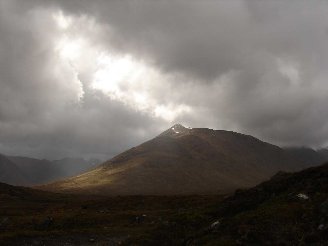  |
Mountains in light. On that day rain often changed with sunshine. This caused an emotional illuminated landscape which was very difficult to photograph. |
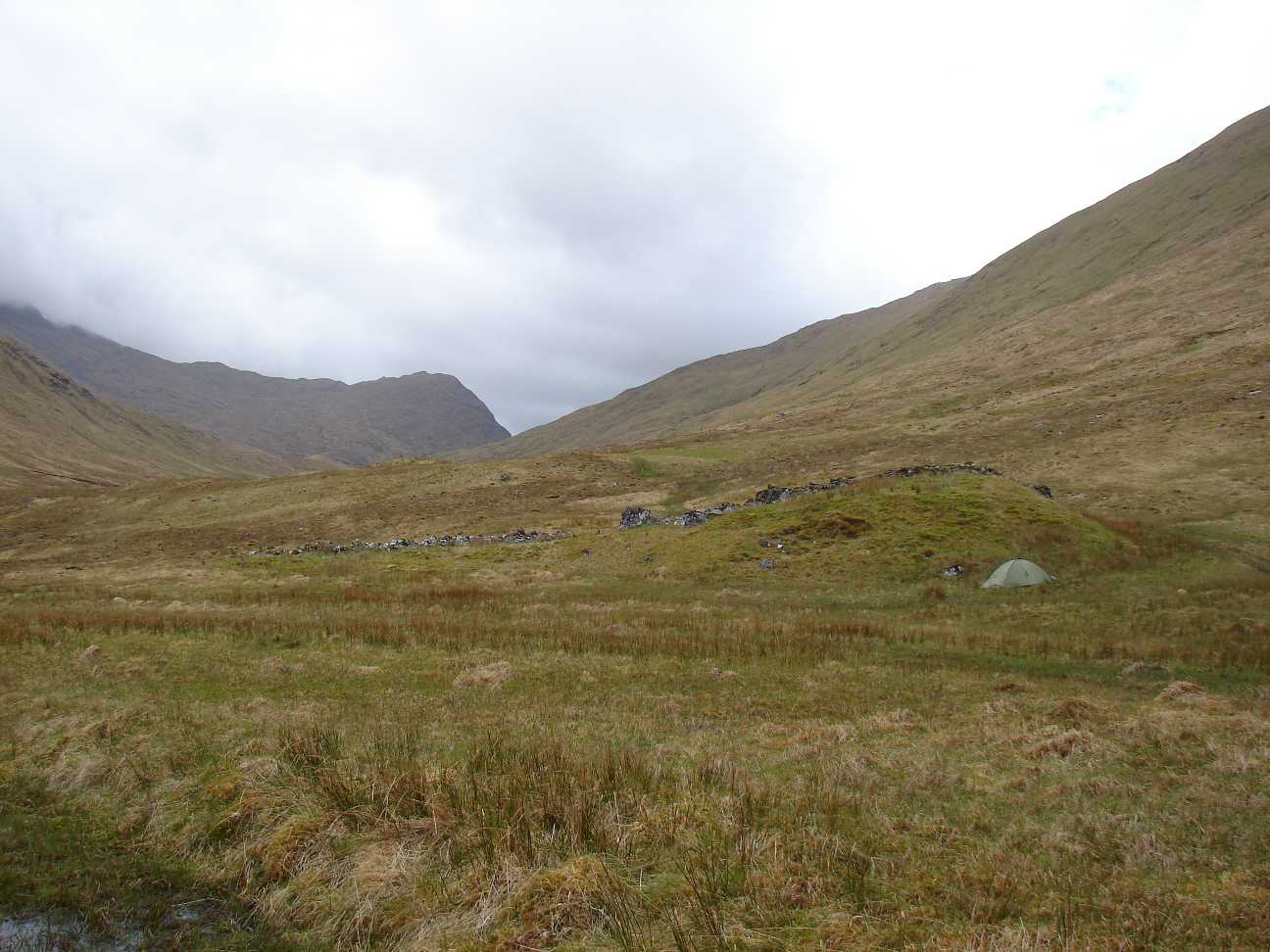   |
Here, near the river Allt
Gleann
Gniomhaidh, about 3 km west of the youthhostel Alltbeithe, I built up
ma tent for the 2. night. A small hill with parts of an ancient wall
gave me some protection against the wind. The wind blows strong in
valleys, just as it goes through a wind tunnel. |
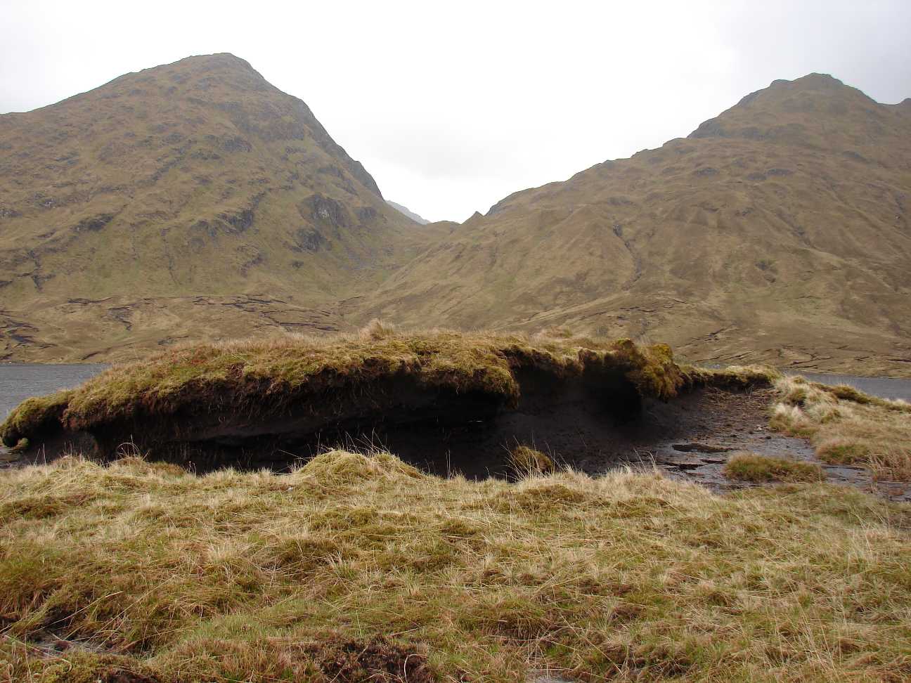 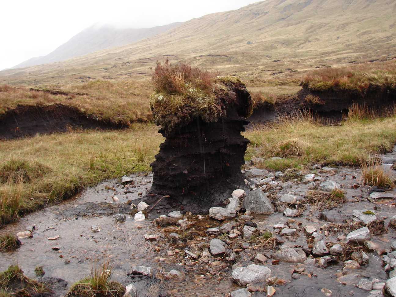 |
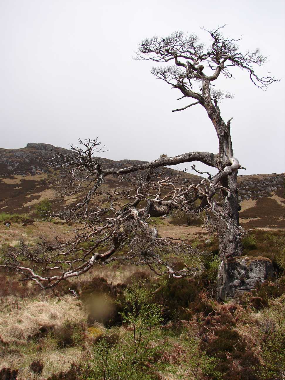
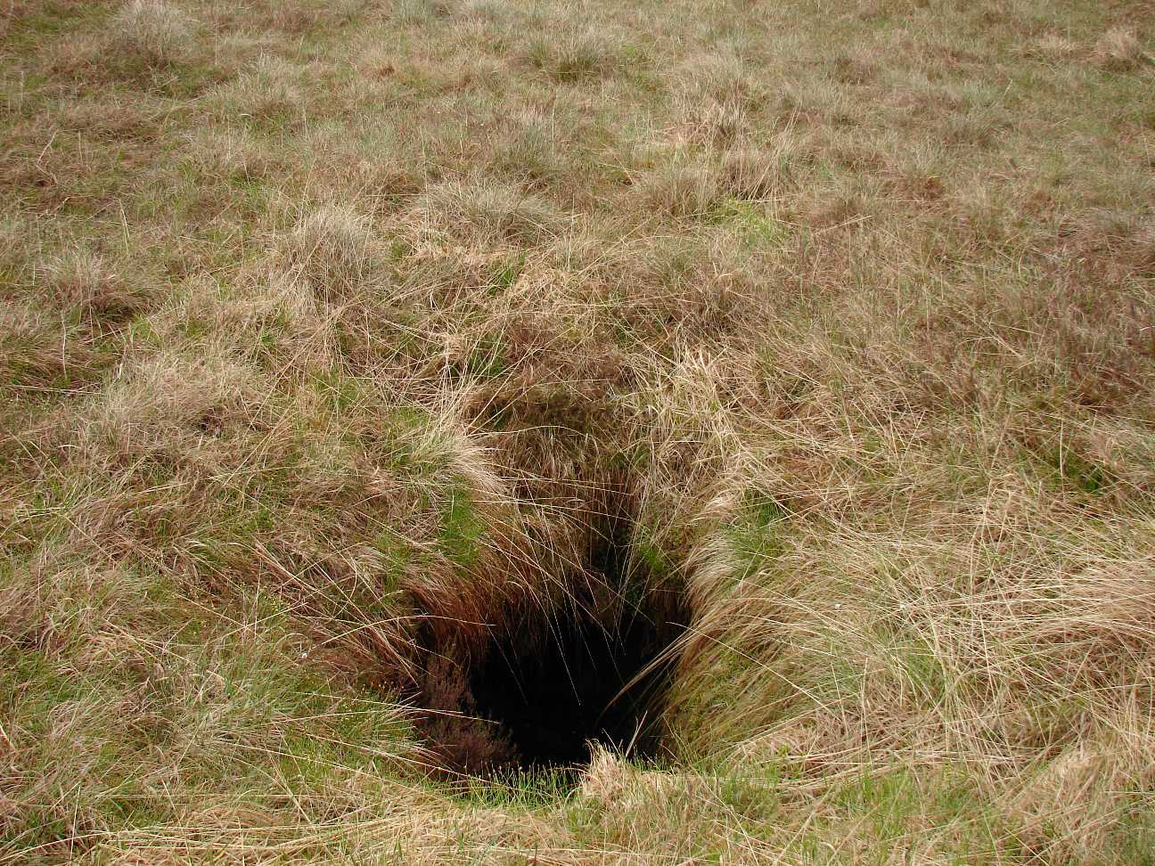
Eroded torf. At some places wind and rain left just the "old men". Nobody knows, how long they will withstand the natural forces. |
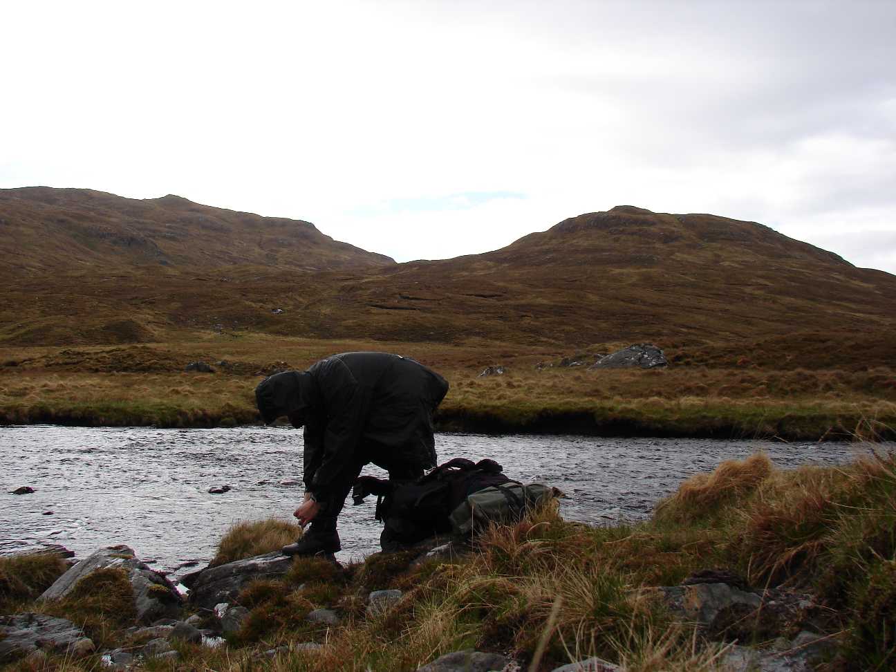 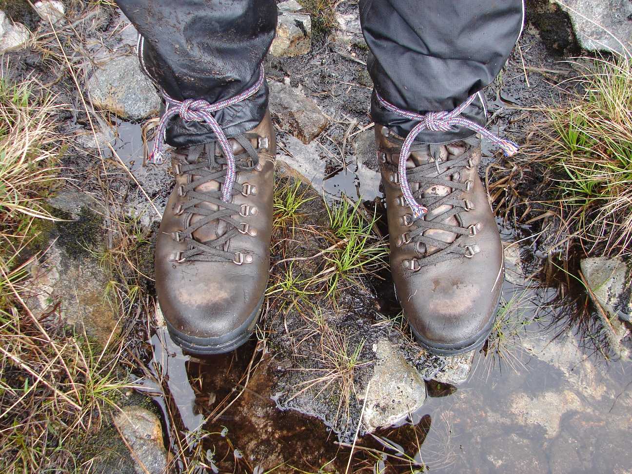 |
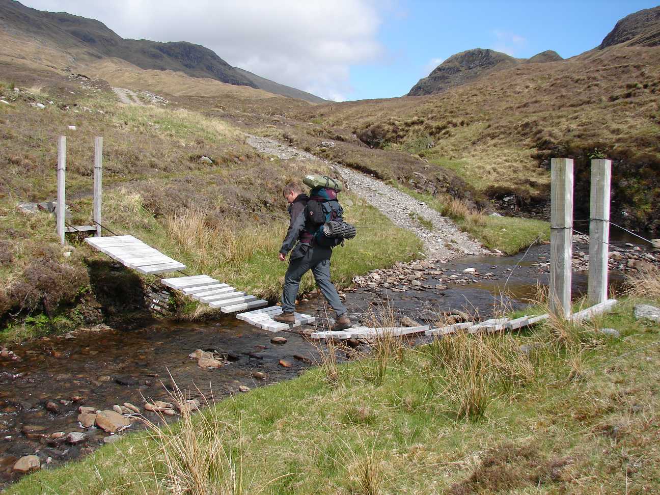
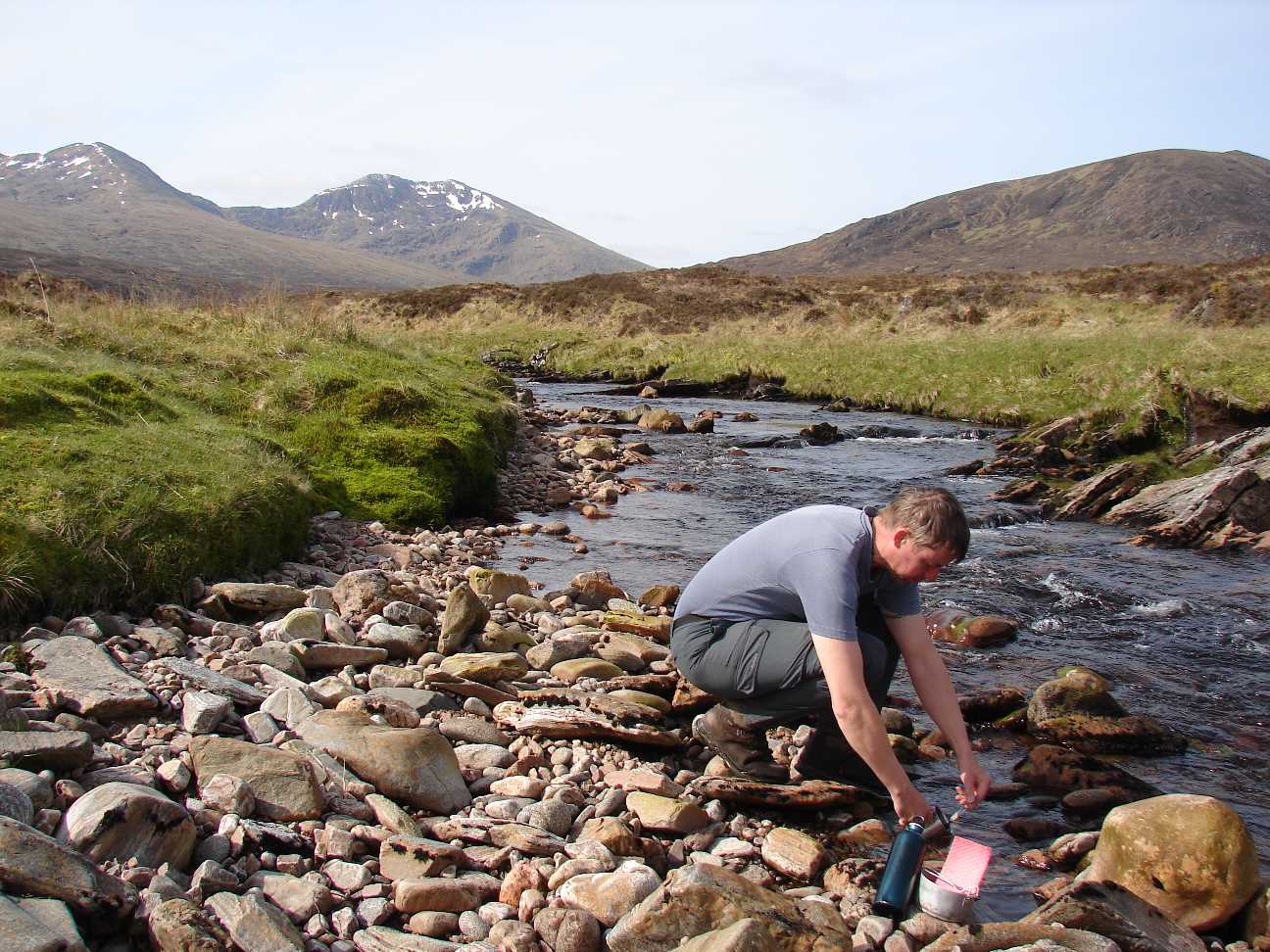
Looks silly, but works. When I had to cross the river "Abhainn Gaorsaic", I fitted my rain proofed trousers with short ropes around my boots and walked carefully through the streaming water. |
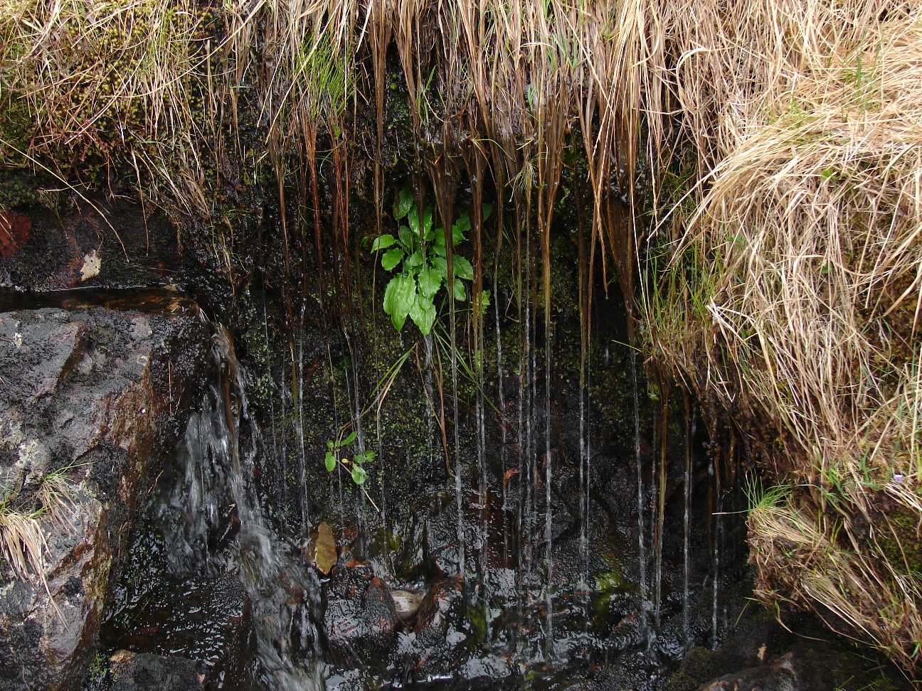 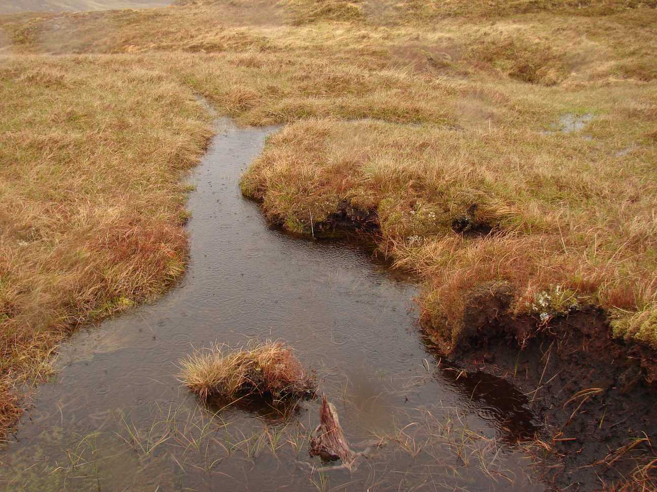  |
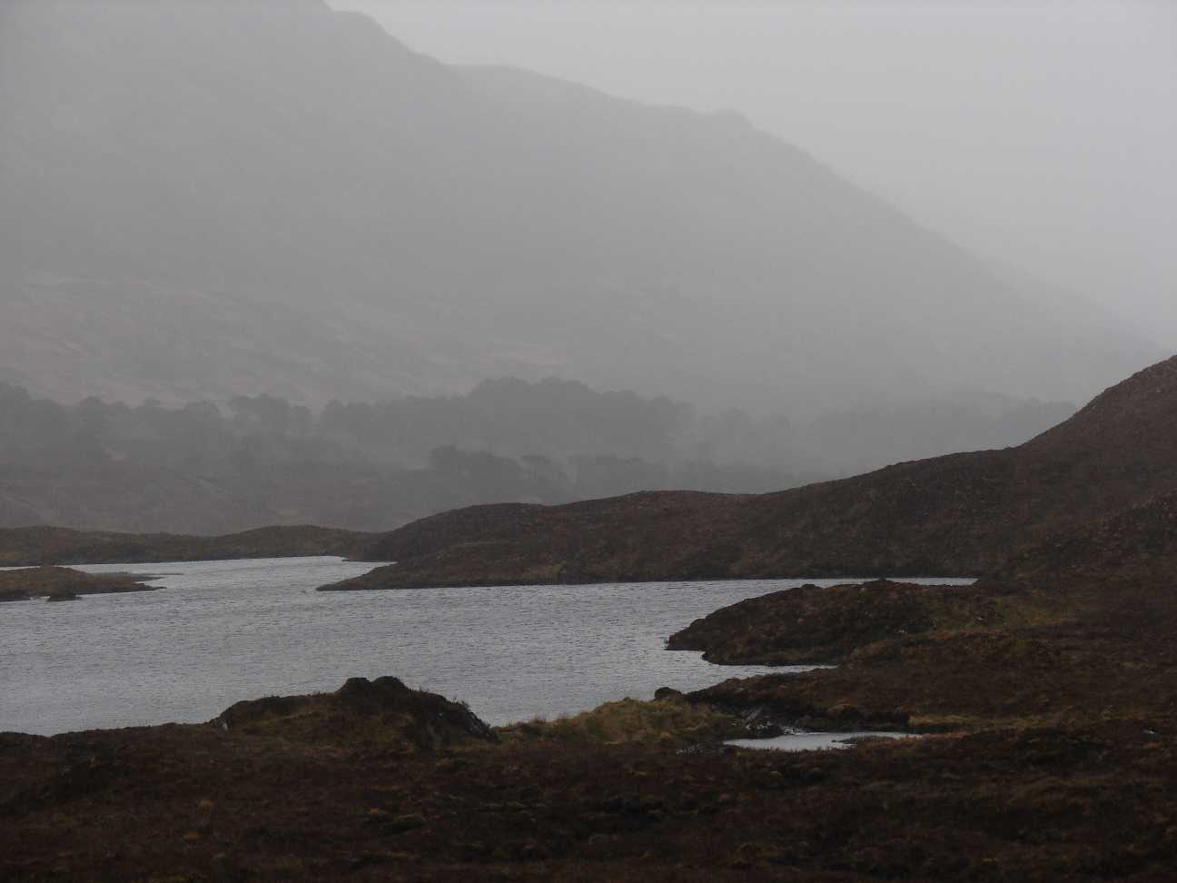
Some of the meadows, I
crossed. Marked by lots of rain. Dripping. Under water. Washed out - danger of stumbling: Pay attention! |
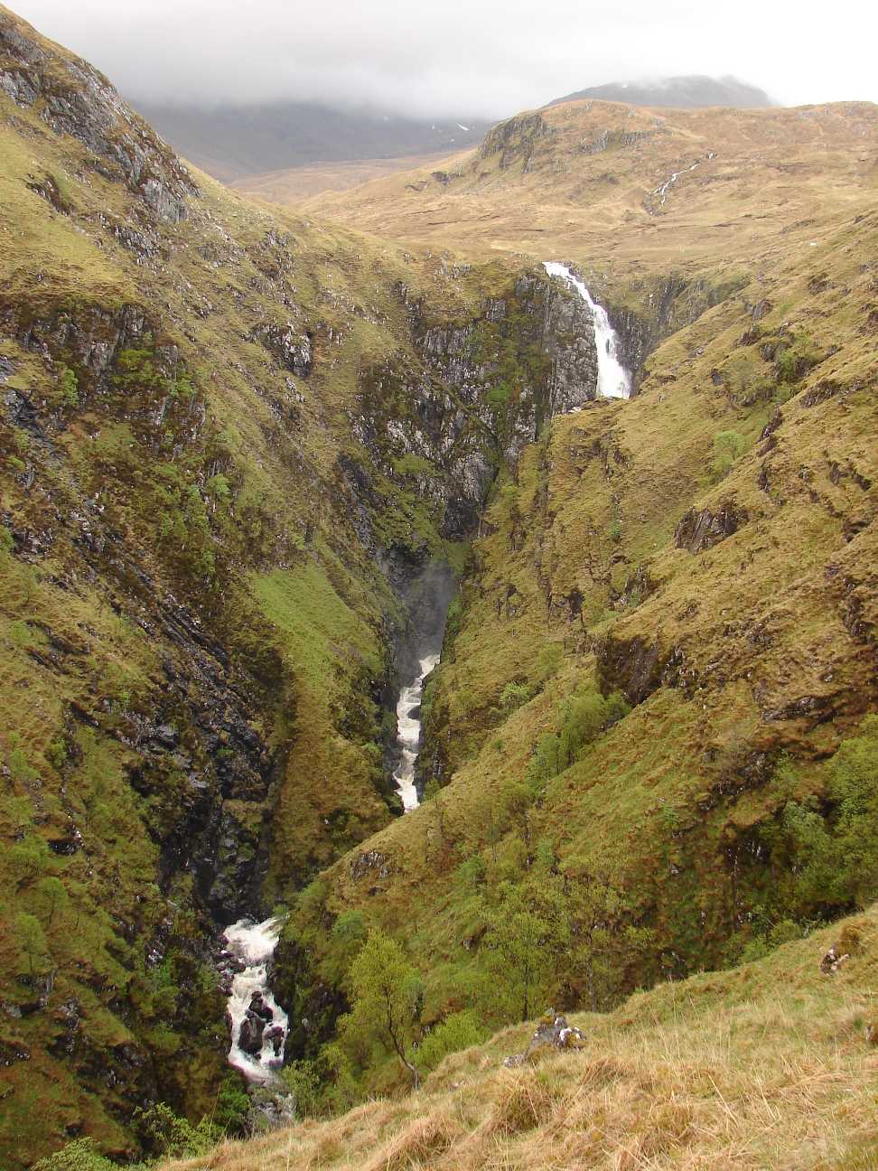 |
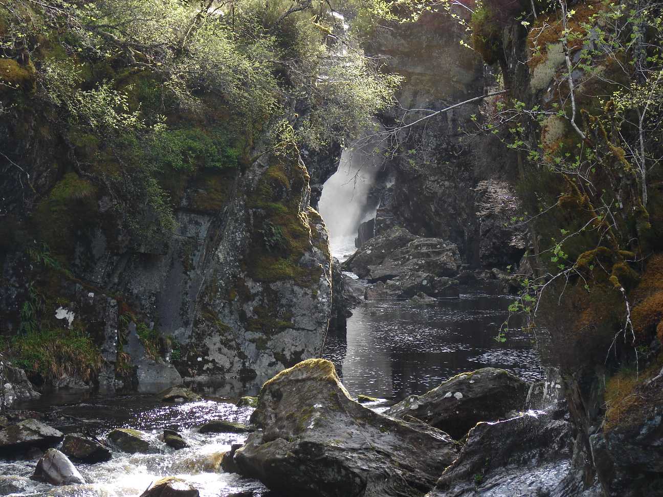
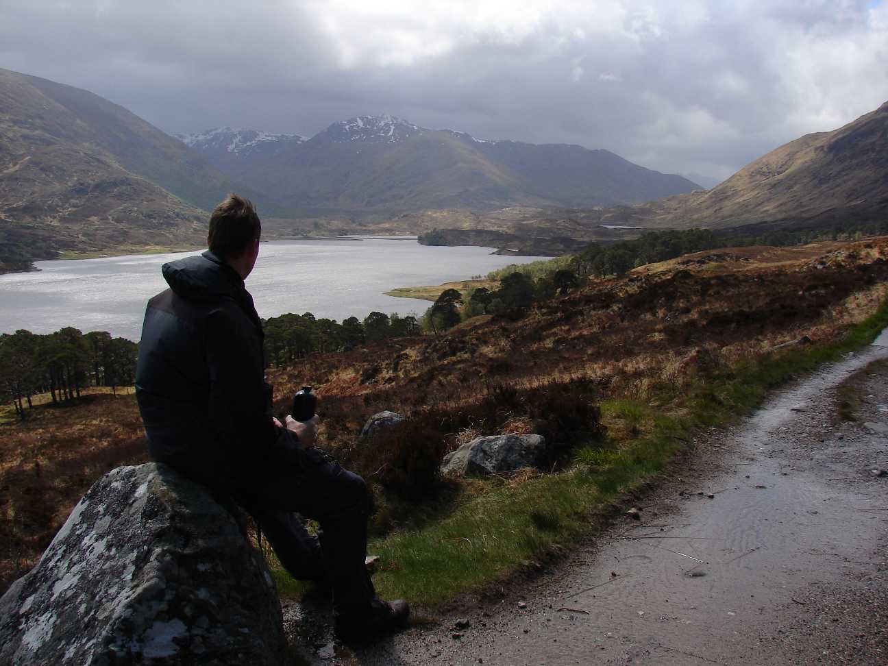
The falls of Glomach. To reach this point from Killilan takes nearly 3 hours of time. The way is always easy to find because many people come here every year. It leads to the upper cliffs, just where the waters fall vertically down to earth with a roaring sound. It is worthwile to climb this path, even if you have to walk all the way back, because it leads you very close to the falls. Including some rest you need 7-8 hours for the whole course. Whereas I came from behind the falls, from south. And due to the wilderness in the background area, the walk from there took 2 full days. |
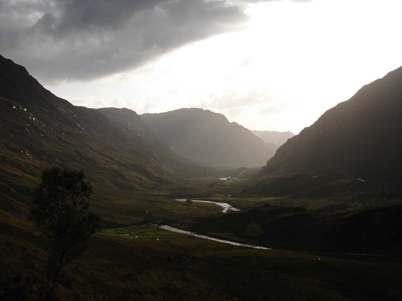 |
A sunset similar to the ones
in middle earth, were the hobbits are. Never before I saw such a
terrific play of light and shadow. A photocamera can not capture the
whole range of this. The variation of brightness and darkness is
much more than a camera can handle.. |
 |
That is near the river
Elchaig. Here starts for many walkers the ascent to the Falls of Glomach. For me it was the end of a days walk, because I passed the falls from the south. |
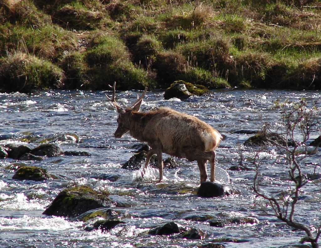  |
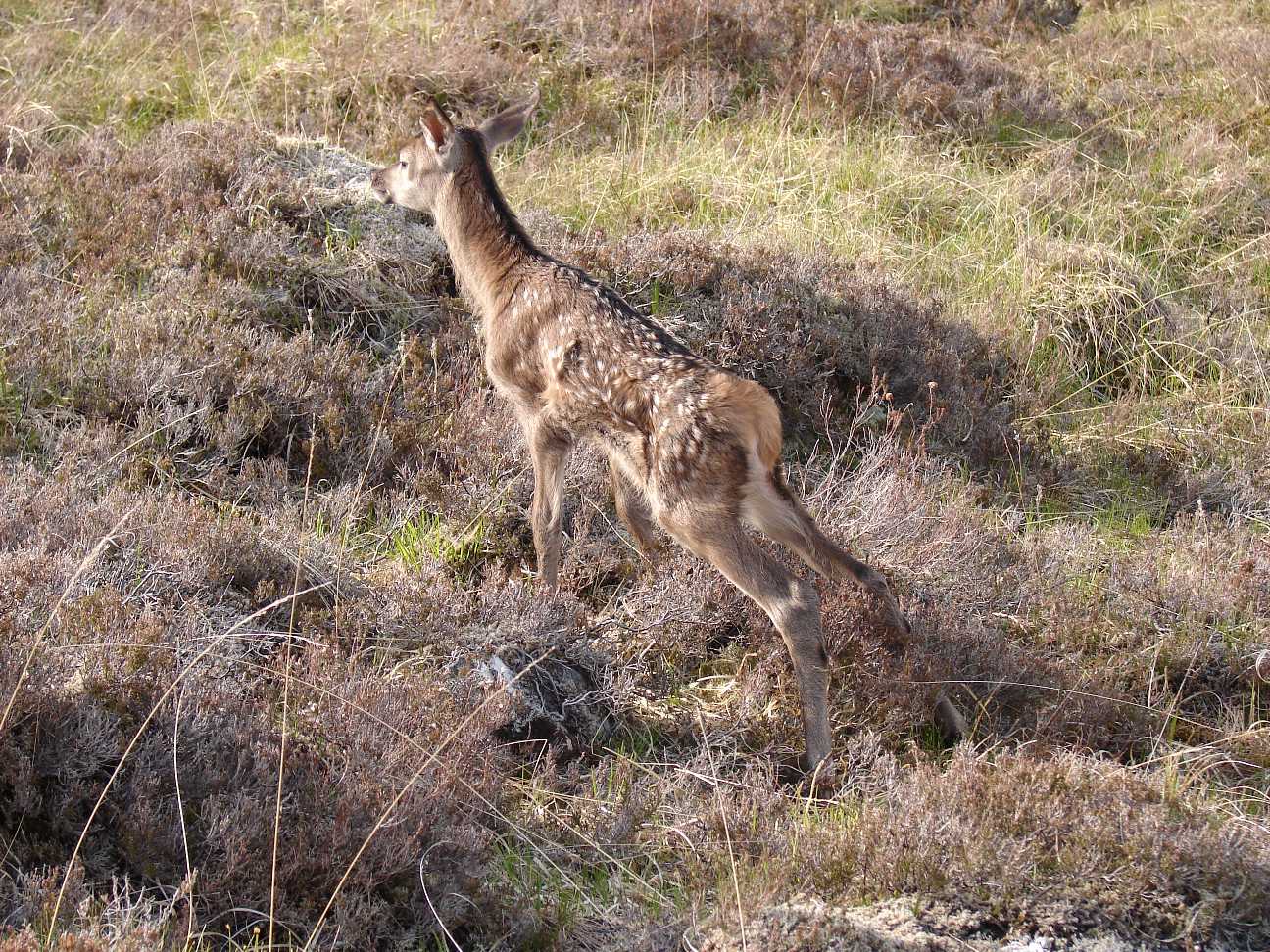
The first deer I saw on my
tour through the highlands. One of them crossed the river Elchaig in a distance of some 20 m. |
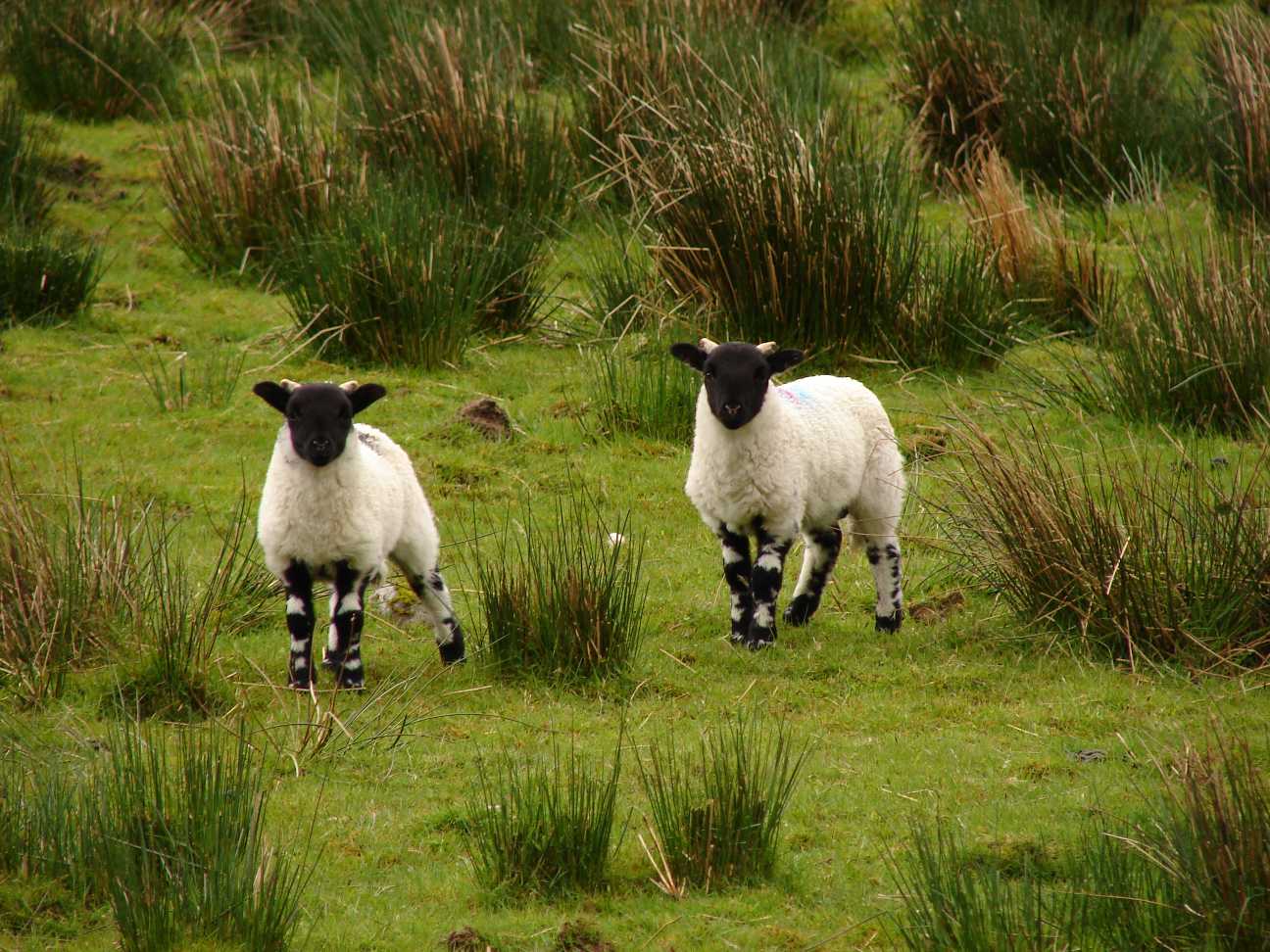 |
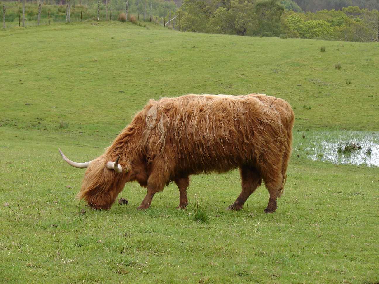
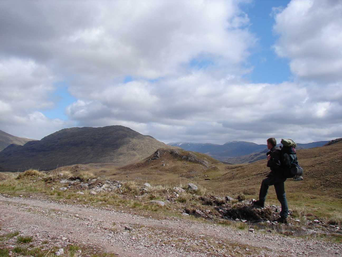
On my wa to Killilan,
a so called Estate, where driving a car is prohibited for foreign
people, I saw some sheep. I only saw few during my 7 days in the
highlands. I expected to see more. |
 |
Remember: it is end of may!
In heights over 1000 m you may find snow. |
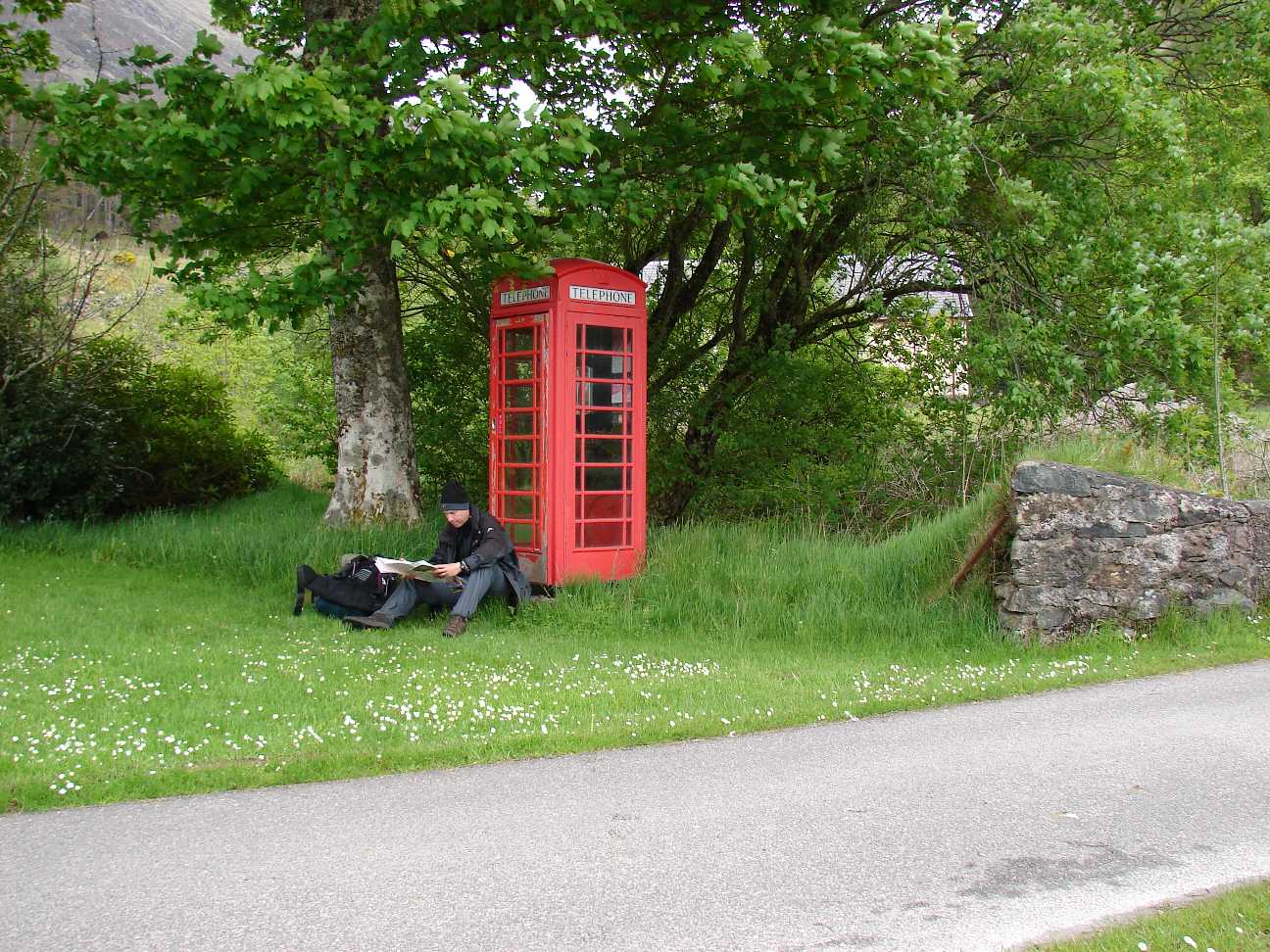  |
In Killilan. No mobile phone
calls possible, but a telephonecell with a kind operator on the
other side. So I could talk to my love on the 3rd day. The next day, in
a distance of about 5 km to Attadale a few minutes of talking via
mobile phonewas possible, and that was all for the rest of the time. |
   |
Very nice, these few trees
beside the small waters. If you enter these places, you feel as
if the fairies aren't far away |
 |
Who builds up his tent here,
at this scenic lake, has to take into account, that he will have
trouble with ticks for many days. Hundreds of them climbed my tent.
Some as small as the dots in this document and therefor hard to find.
But all of them will find you. I removed 10 ticks from my legs during
the first evening. |
  |
On the way to Bendronaig
Lodge. You can see it on the right picture. In the middle of nothing! Funny. |
 |
Near by this old bridge
crosses a small stream to the
Uige Dubh. From here I went up to the Loch Calavie. |
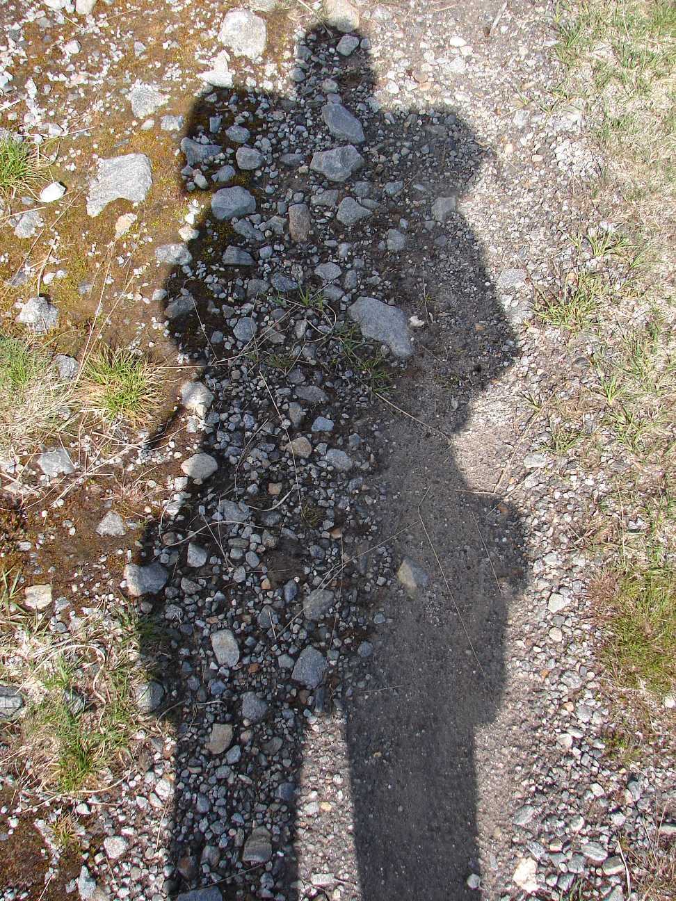 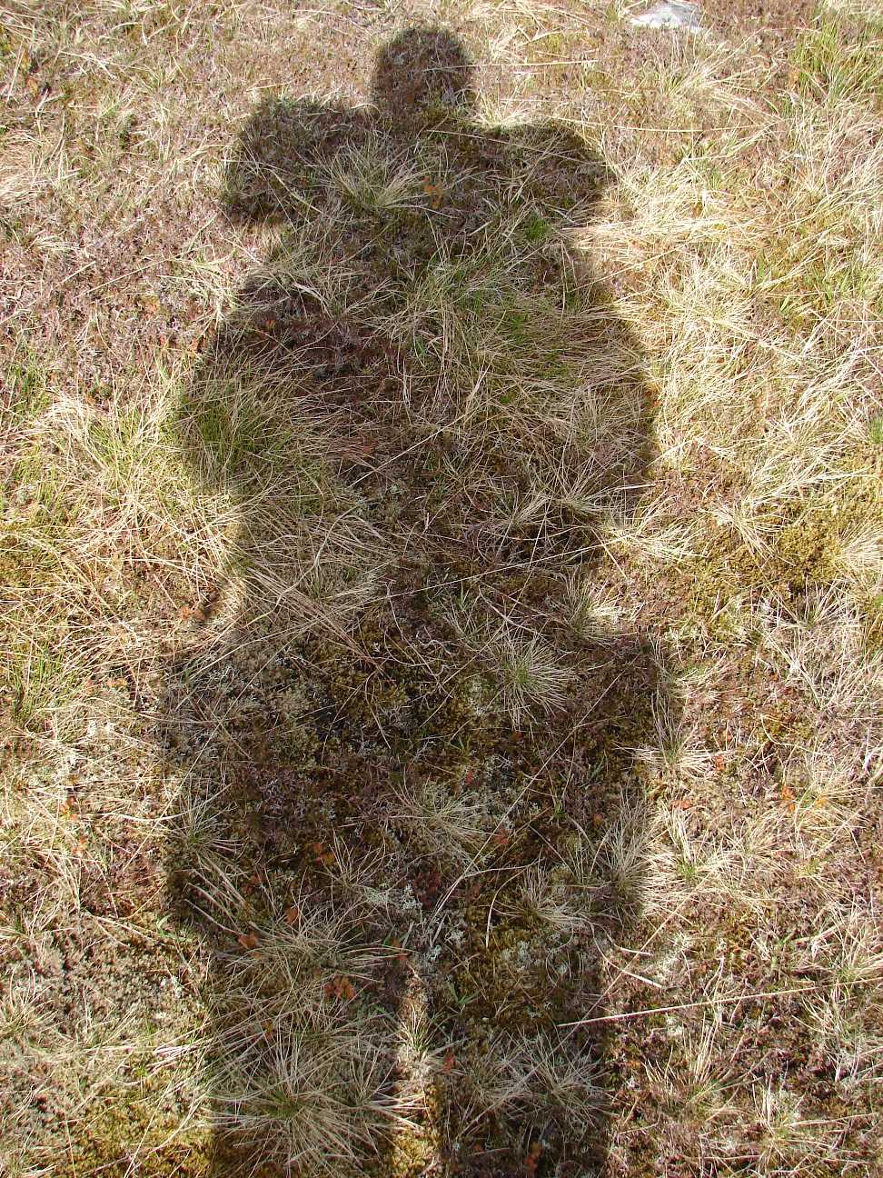 |
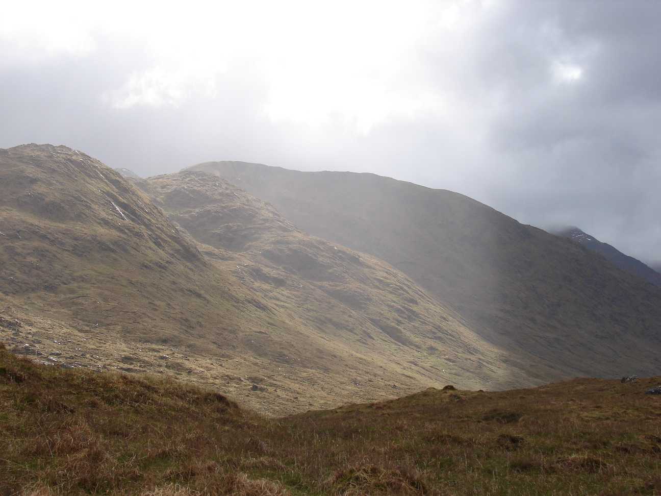
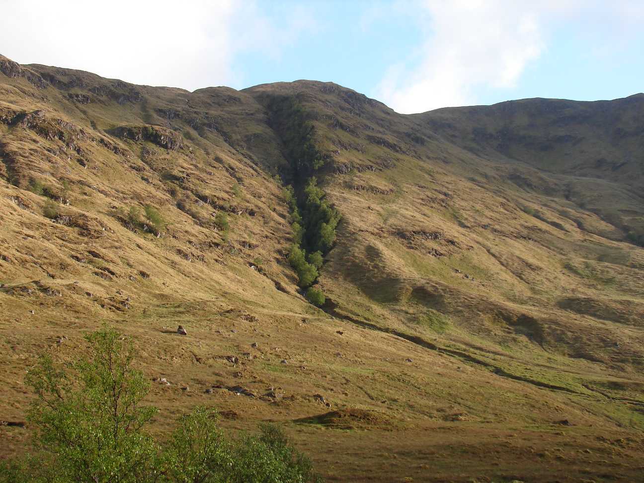
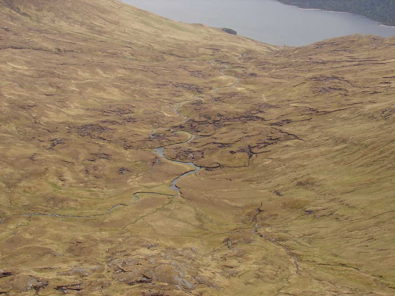
Shadow play The vegetation is not as bald as it looks like on this pictures. There are countless species of moss, tress, grasses and tiny flowers. All colours can be found, from white over violet and orange, to blue green and black. Dozens of spiders and insects live here. The attraction lies in the detail! If you have an eye for the small and tiny things, you will identify the real beauty of nature in the scottish highlands. |
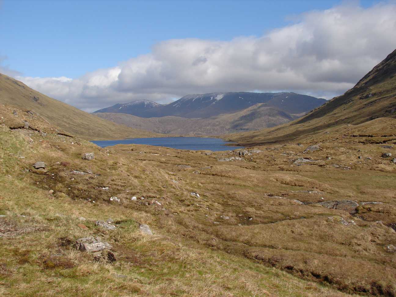 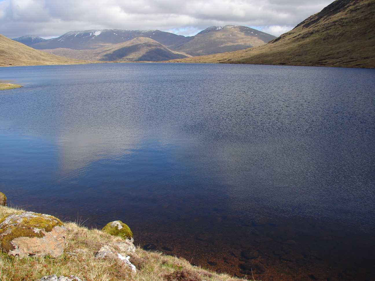  |
At Loch Calavie. Here ara many small beaches, where you can swim on warm and sunny days (if you like cold water :-). Walking in this area was spectacular: quite, wild romatic, bald, cool landscape, warm weather. Great! |
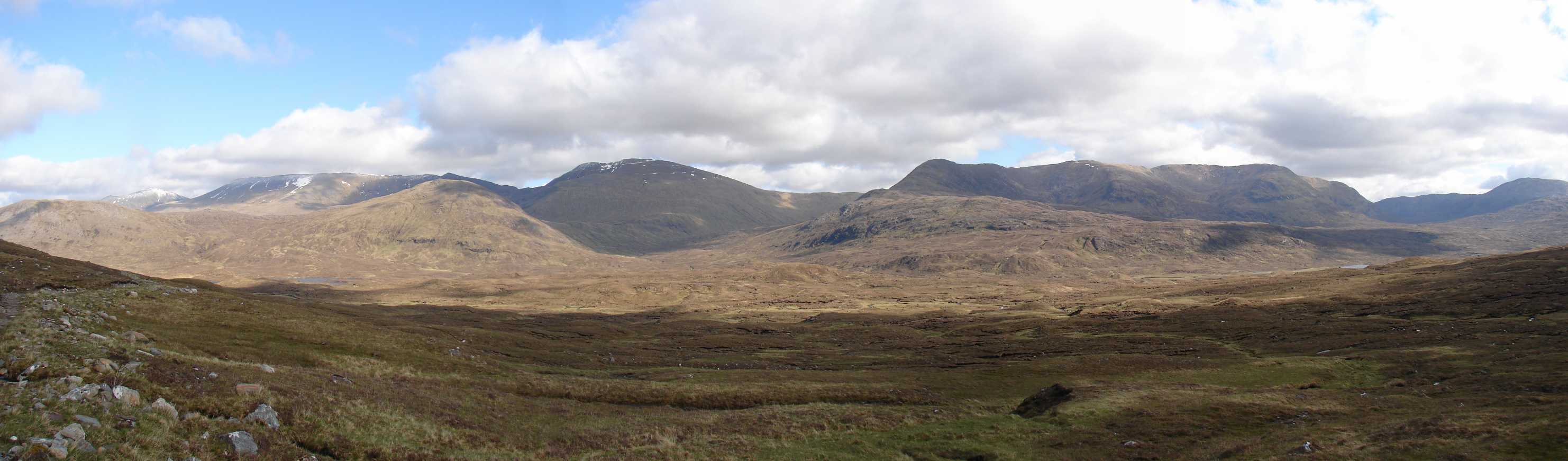 |
Panoramapicture from Pait Forest, fotographed in south direction. |
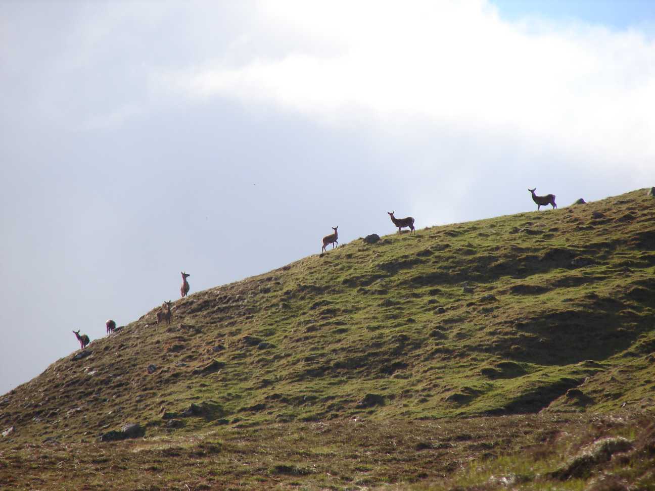  |
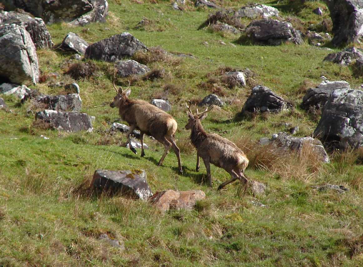
On that day I saw about 100
deer in the hills north of the des Loch Calavie. The joungster (right) appeared suddenly in a distance of 2 meters. We were both scared. |
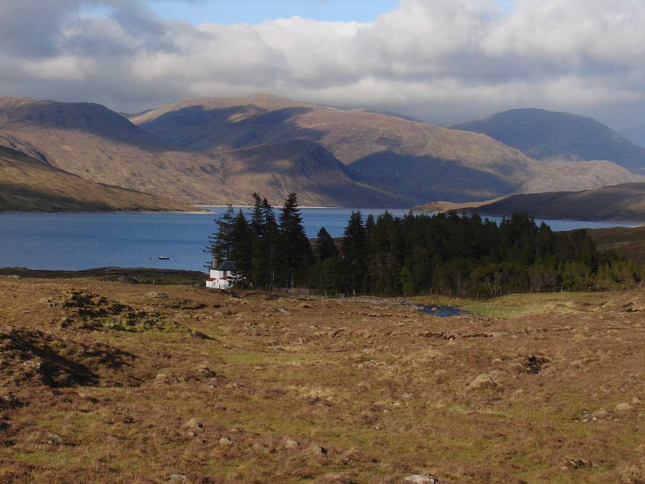  |
The Pait Lodge at Loch Monar
is occupied by an elderly Ehepaar. A very nice and tidy estate, which
is not adequate for the surrounding area. The garden looks very british and noble. Crass! |
  |
A wonderfull place to build
up the tent. About 2 km south of the Pait Lodge, at Allt Riabhachain, a
small river that fills the Loch Monar. |
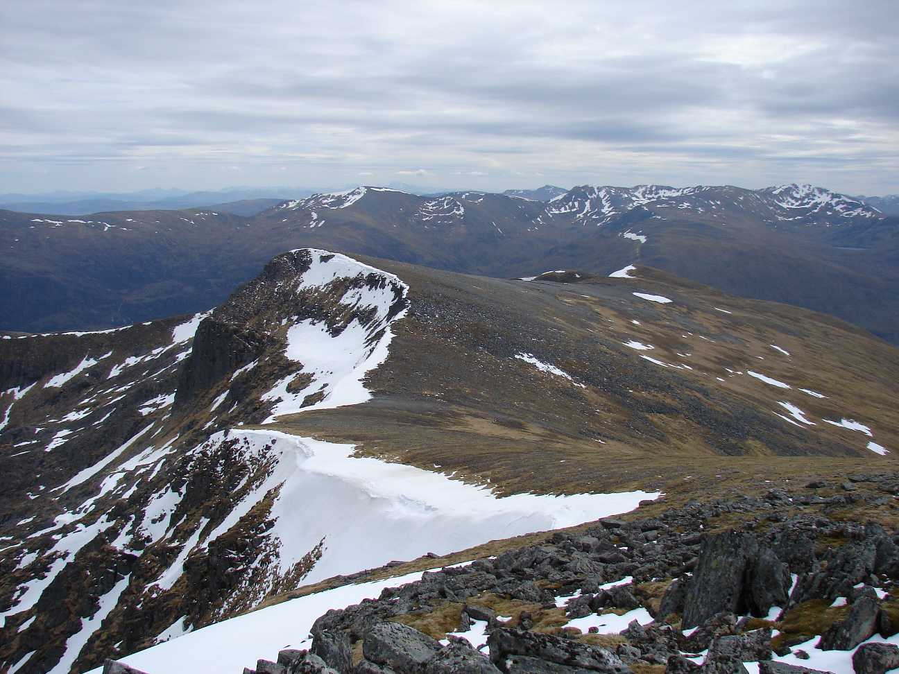   |
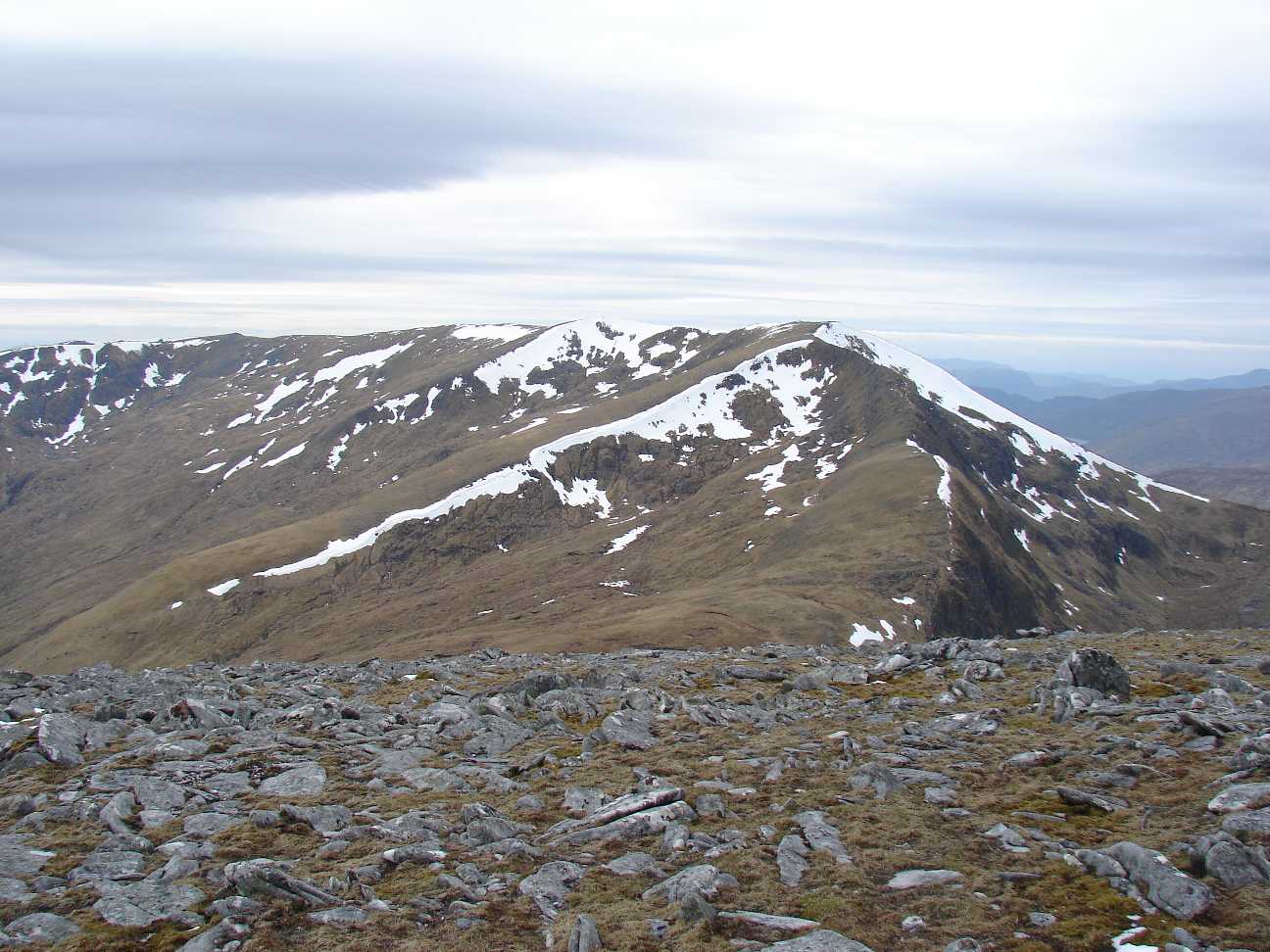
On top of the Sgurr na
Lapaich, which is 1150
m high. Very cold up there. About 0°C. So: no long delays! |
 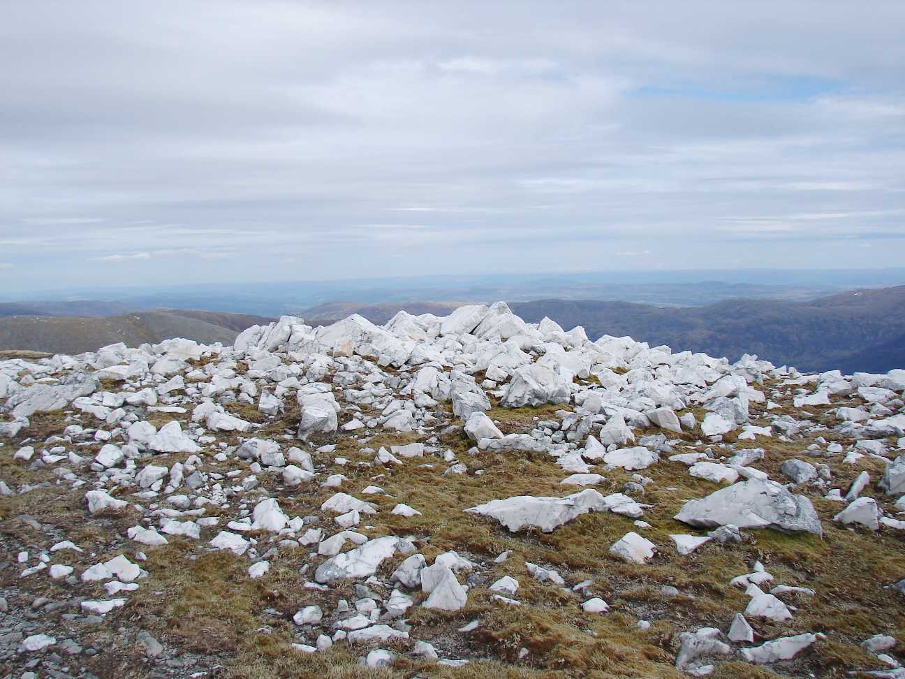 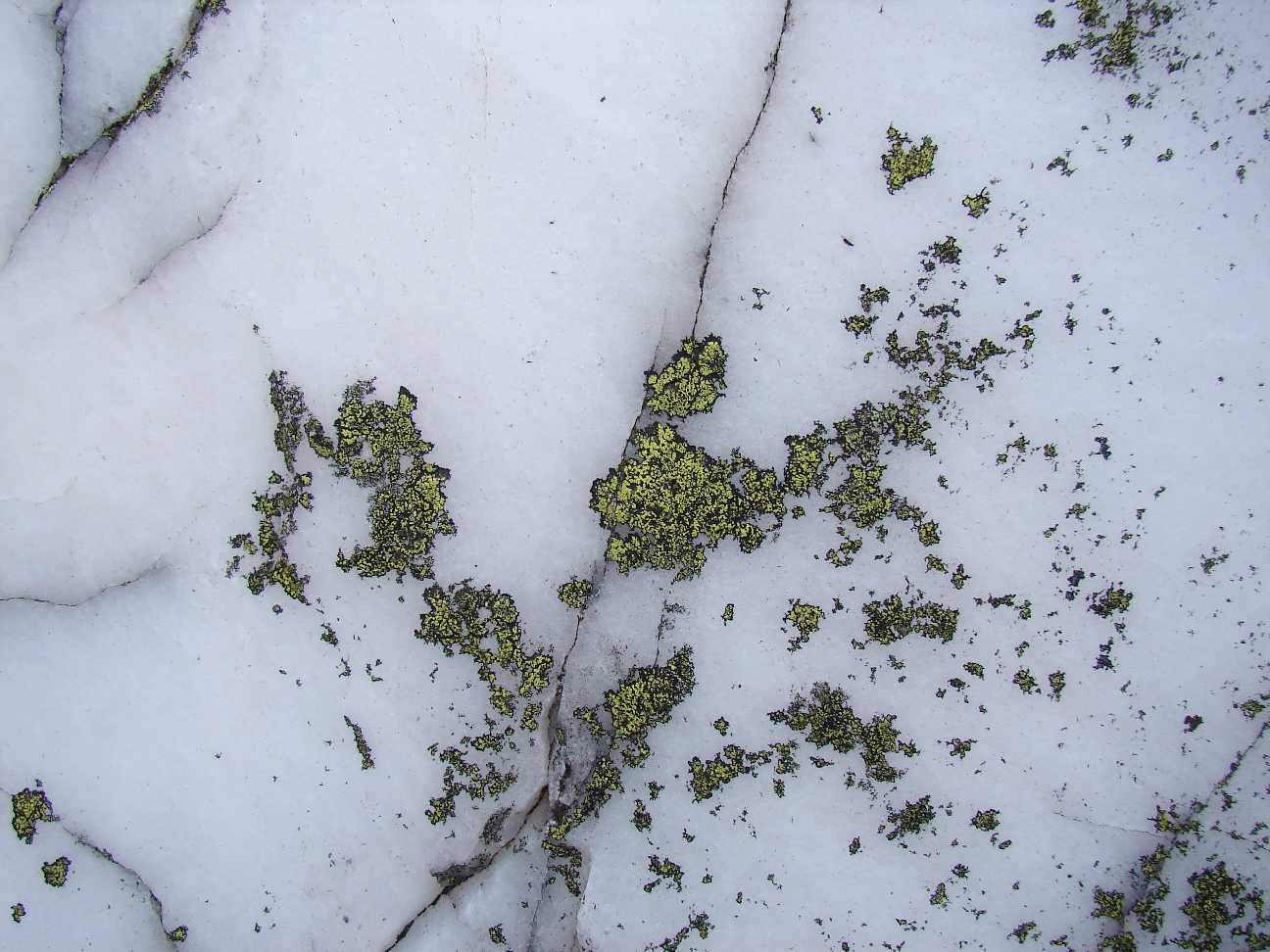 |
Nice stones. In germany its
called Marmor. I found it during the ridgewalk. |
  |
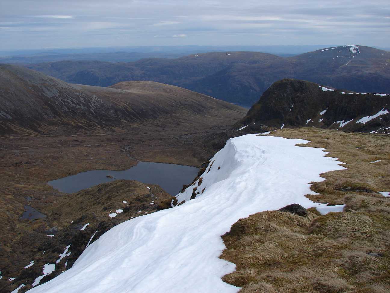
That is the way I went down
to Allt
Loch a' Choire Bhig (right, that's the name of the river). Old roots
show that scotland saw many woods, years ago. I called such places
"Waldfriedhof" by myself: whole woods died here. |
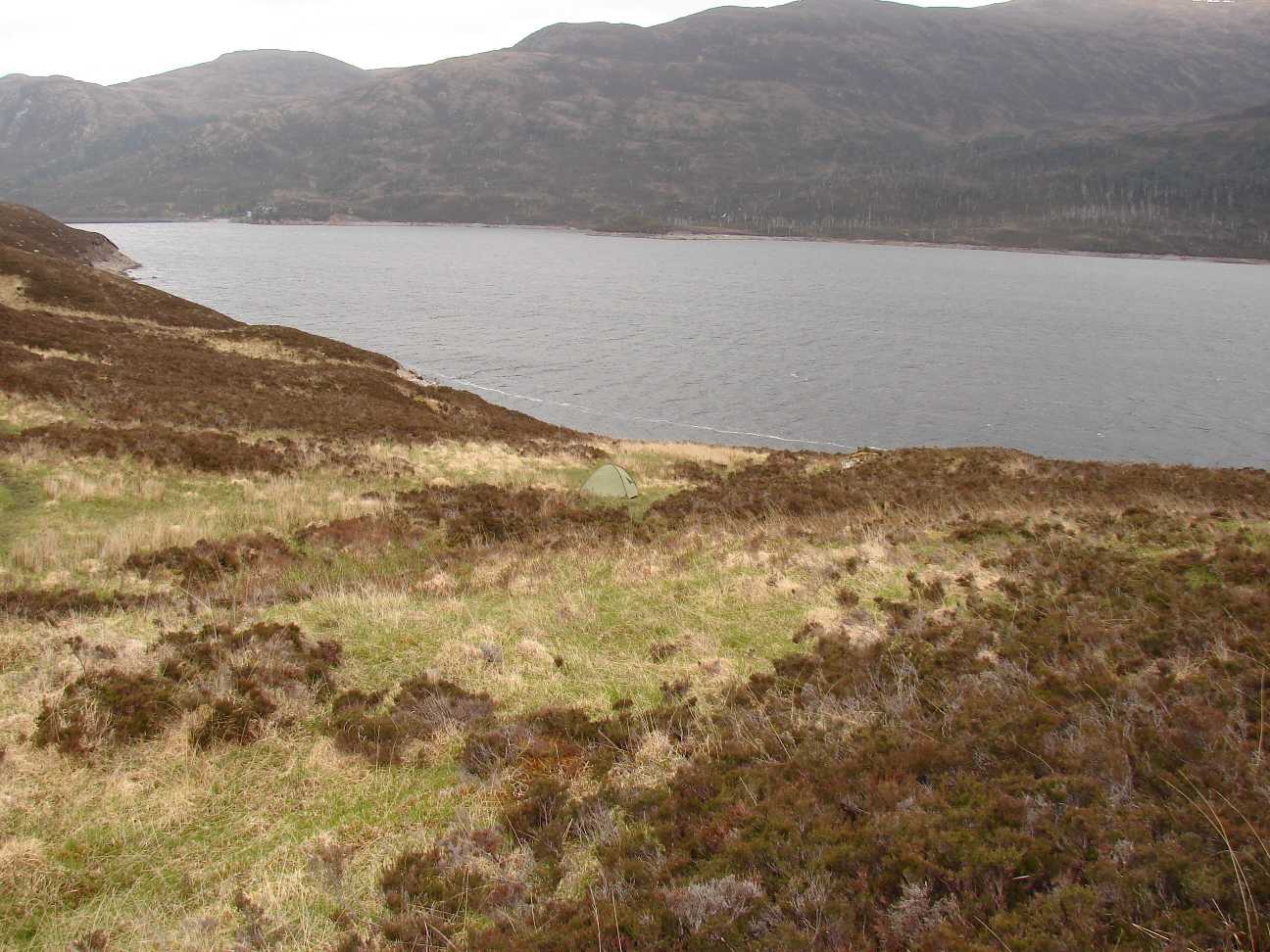 |
The last day of ma tour. I
found a good looking place at Loch Mullardoch. The way back along a normal road to Cannich took 4 hours. |
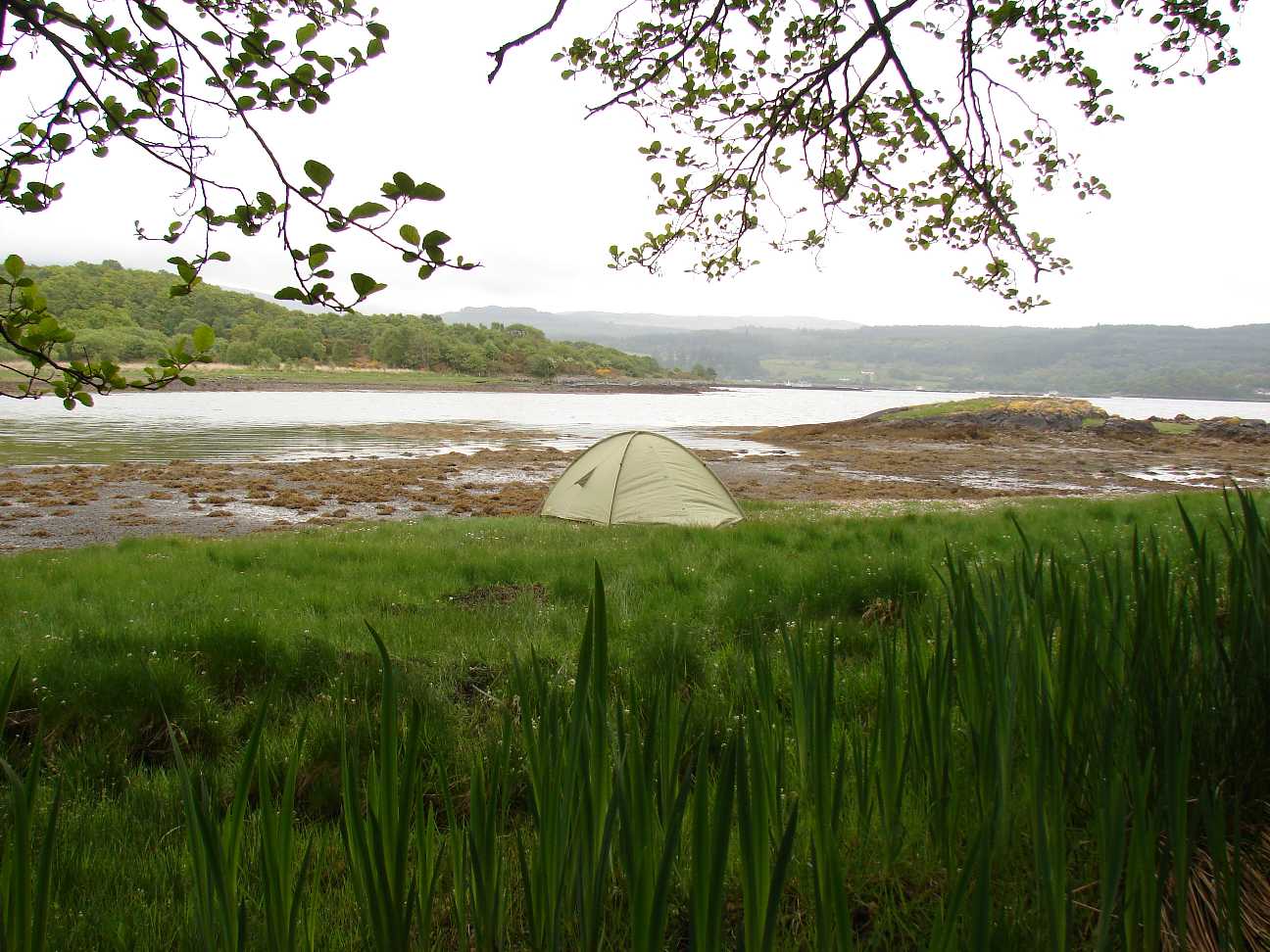 |
A nice place to build up the
tent in North Shian near Portnacroich. Directly by the Firth of Lorn. |
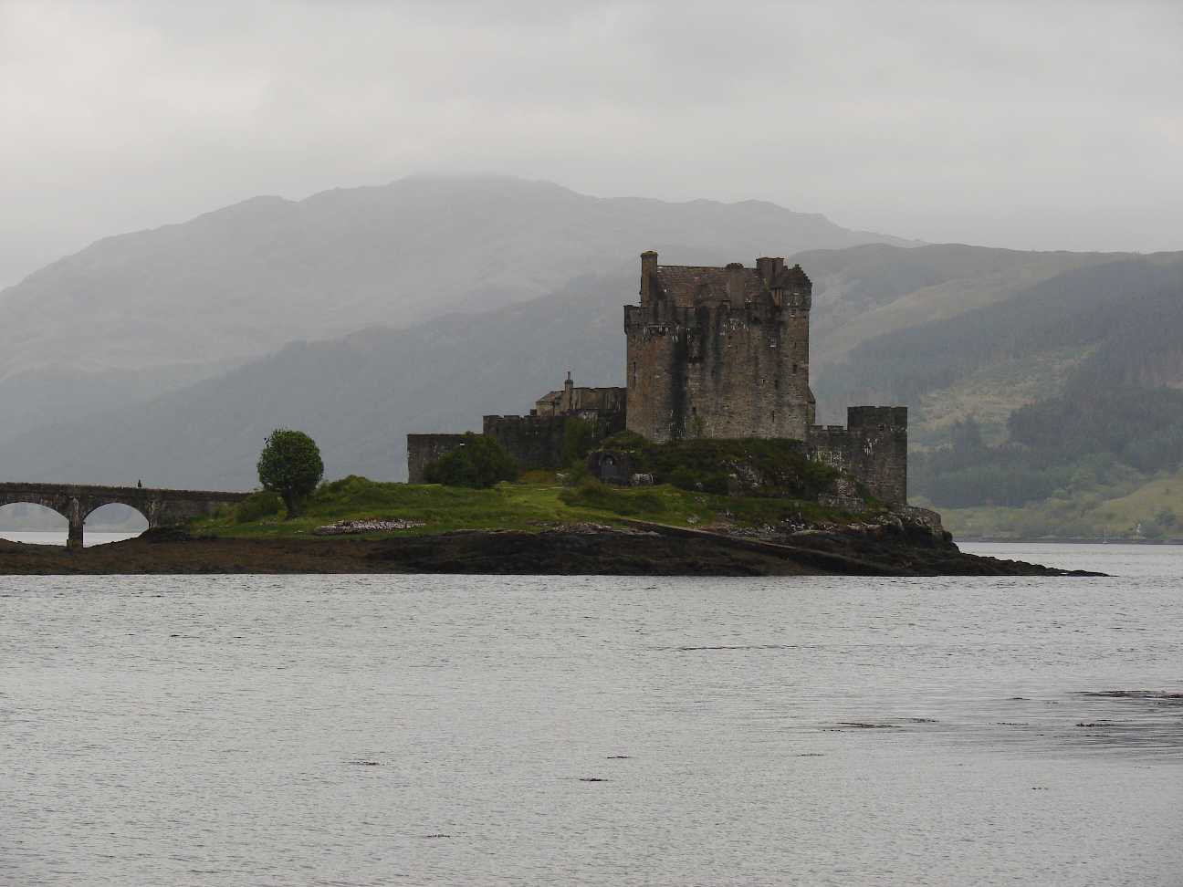 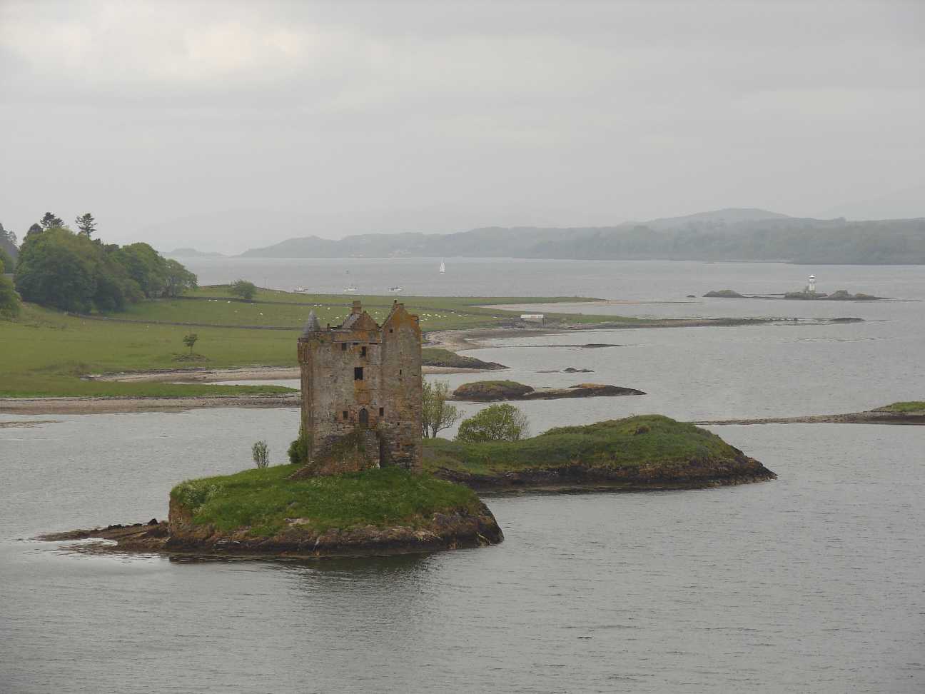 |
The last 2 days I spent on
viewing some former castles and ruins. On the left you see the Eilean
Donan Castle of the McCraes at Loch Duich. On the right hand side there is Castle Stalker at Portnacroich. |
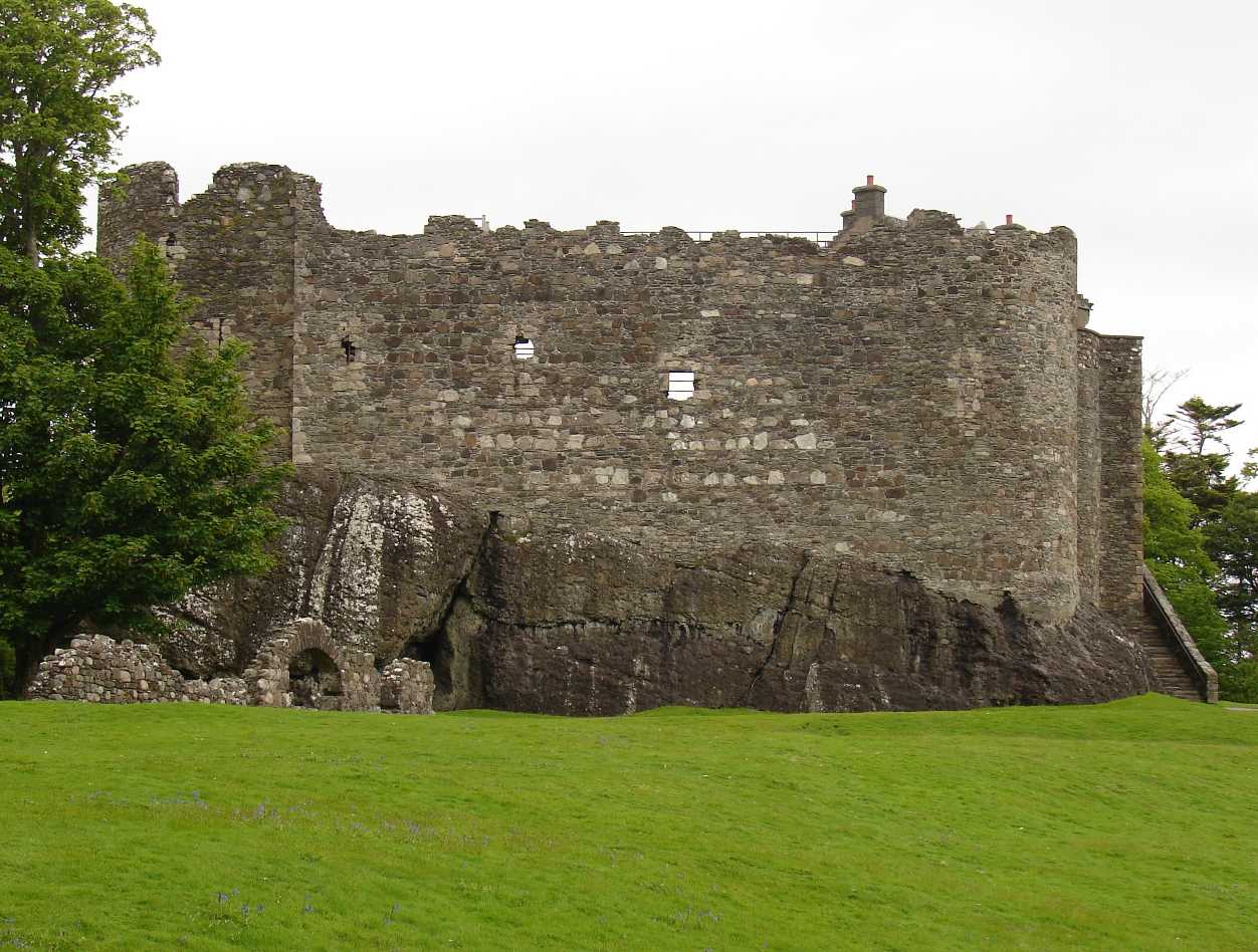 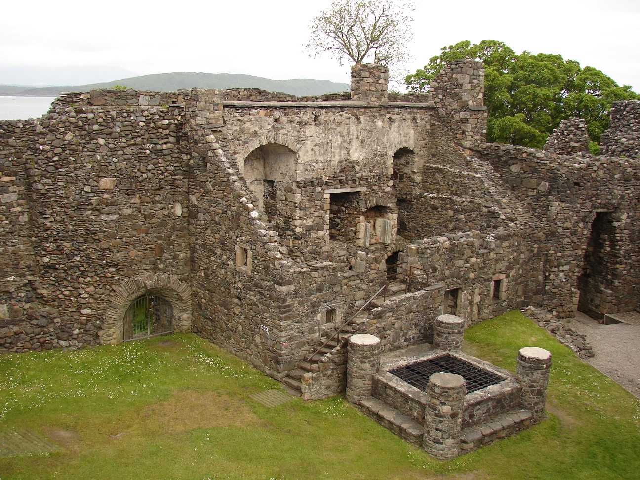 |
Dunstaffnage Castle in
Connel,
near the town Oban. On the left hand side: the view from outside. Right: the former dwelling building with well inside the walls. |
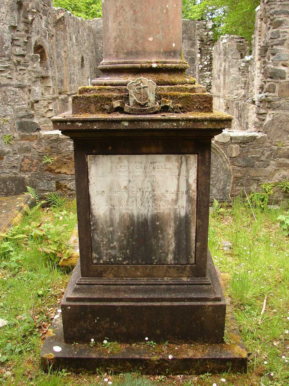 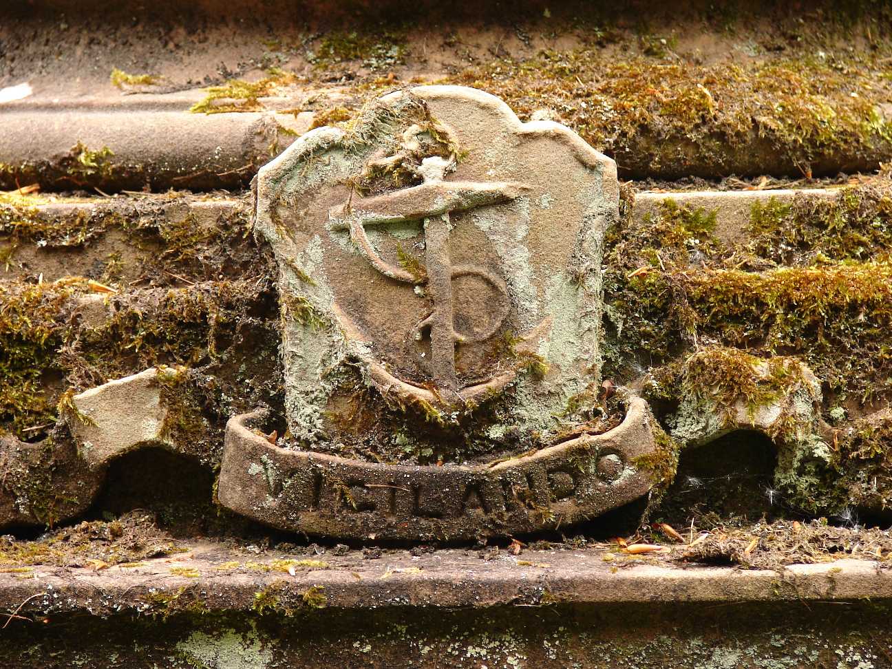 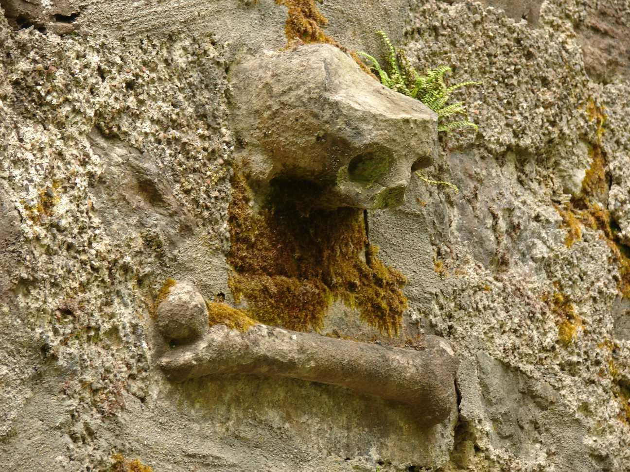 |
Near the ruins of
Dunstaffnage Castle, in the woods, there is a chapel, where members of
the family are buried. The last date is from 1998. The skull (right picture) is placed on the outside wall of the chapel. |